Geological conditions of Jiangsu Province
jiangsu Province is located in the North China plate, the eastern section of the Qinling Dabie orogenic belt, and the Yangtze plate, which cross the Chinese Mainland. The regional geological background and tectono magmatic activity are obviously different. The development process and evolution history of the geological structure of each tectonic unit are extremely complex. In general, it can be divided into three tectonic stages: micro landmass convergence and crystalline basement formation, plate convergence and reorganization, and the evolution of the Mesozoic Cenozoic continental margin active zone. The development process of the three units has undergone relatively independent development → multiple tectonic integration → co evolution. Sedimentary rocks, metamorphic rocks, and igneous rocks are widely developed, with different characteristics in different units, and have good geological conditions for mineralization
From a tectonic perspective, jiangsu is divided into two zones: the southern and northern zones, with the Xuyi Xiangshui Fault Zone as the boundary. The northern region was formed in the Archean period and has a relatively stable structure. It is the southeastern edge of the North China ancient land (also known as the North China Platform or the Sino Korean Platform). The southern region was formed in the Upper Proterozoic and is the easternmost end of the Yangtze ancient land (also known as the Yangtze Qiantang quasi geosyncline or Yangtze quasi platform). The northern region is mainly characterized by uplift, while the southern region is mainly characterized by subsidence. The lithology and geological structure constrain the development of jiangsu's landform, especially the new tectonic movements since the Quaternary period, which ultimately established the pattern of jiangsu's landform dominated by plains
jiangsu Province is located in eastern China, with geological structures bounded by the three major regions of North China, Sulu, and South China. The geological development is relatively complete, and it is one of the important areas for early geological research in China. Based on previous research data, the stratigraphic division of jiangsu is as follows: North China stratigraphic region (referred to as North China region); Lianyungang stratigraphic area of the Sulu orogenic belt (referred to as Lianyungang area); The Yangtze Stratigraphic Region of the South China Stratigraphic Region (referred to as the Yangtze Region)
Geological conditions of Jiangsu Province
-

Jiangsu Province in the Pre Qin Period
Archaeological discoveries indicate that humans existed on the land of Jiangsu as early as the Paleolithic era, and cultural sites from the New Era have also been discovered in various parts of Jiangsu. During the Xia, Shang, and Zhou dynasties, the Jiang
Views: 13 Time 2024-12-28 -
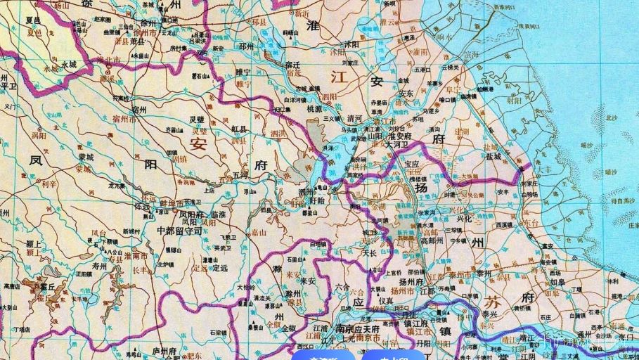
Jiangsu Province during the Qin and Han Dynasties to the Southern and Northern Dynasties
After Emperor Qin Shi Huang unified China, the system of prefectures and counties was implemented. During the Qin Dynasty, the northern part of Jiangsu Province was divided into Sishui County, Donghai County, and Langye County, while the southern part of
Views: 9 Time 2024-12-28 -
Jiangsu Province during the Sui, Tang, Song, and Yuan Dynasties
In 581 AD, Emperor Wen of Sui unified China, with the northern part of Jiangsu roughly belonging to Xuzhou and the area south of the Huai River roughly belonging to Yangzhou. In 618 AD, the Li Tang Dynasty was established. During the Tang Dynasty, Jiangsu
Views: 11 Time 2024-12-28 -
Jiangsu Province during the Ming and Qing Dynasties
In 1368, Zhu Yuanzhang established a political power in Yingtian (now Nanjing) as the capital city. Later, Yingtian changed its name to Nanjing and then to Jingshi, also known as Zhili. After Ming Chengzu established the name Yongle, he moved the capital
Views: 11 Time 2024-12-28 -
Jiangsu Province during the Republic of China period
In 1912, the Republic of China established a provisional government in Nanjing, with Sun Yat sen serving as the interim president. In April of the same year, Yuan Shikai usurped the fruits of the revolution, and Jiangsu fell into the sphere of influence o
Views: 9 Time 2024-12-28 -
Jiangsu Province after the establishment of the People's Republic of China
In June 1949, the entire Jiangsu province was liberated. The territory is divided into three provincial-level administrative regions: northern Jiangsu, southern Jiangsu Administrative District, and Nanjing City. In January 1953, three provincial-level adm
Views: 8 Time 2024-12-28 -
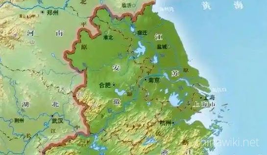
Location and territory of Jiangsu Province
Jiangsu Province is located in the middle of the eastern coastal area of Chinese Mainland, at the lower reaches of the Yangtze River and Huaihe River, bordering the Yellow Sea to the east, Shandong to the north, Anhui to the west, and Shanghai and Zhejian
Views: 9 Time 2024-12-28 -
Climate situation in Jiangsu Province
Jiangsu belongs to a transitional climate from temperate to subtropical, with the Huai River and the main irrigation canal in northern Jiangsu as the boundary. To the north, it belongs to a warm temperate humid and semi humid monsoon climate, while to the
Views: 8 Time 2024-12-28 -
Geological conditions of Jiangsu Province
Jiangsu Province is located in the North China plate, the eastern section of the Qinling Dabie orogenic belt, and the Yangtze plate, which cross the Chinese Mainland. The regional geological background and tectono magmatic activity are obviously different
Views: 7 Time 2024-12-28 -
The topography and geomorphology of Jiangsu Province
The terrain of Jiangsu Province is mainly plain, with a land area of 103229.17 square kilometers. Among them, the plain area accounts for 86.89%, reaching 89706.03 square kilometers, the hilly area is 11916.16 square kilometers, and the mountainous area i
Views: 7 Time 2024-12-28 -
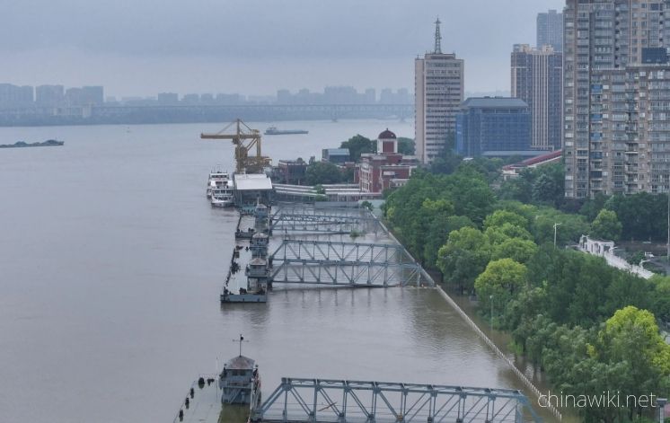
Hydrological and Water Conservancy Situation in Jiangsu Province
Jiangsu Province spans across rivers and coasts, with numerous lakes and a dense water network, adjacent to land and sea. It is the only province in China with large rivers, lakes, and seas. The Yangtze River spans 433 kilometers from east to west, and th
Views: 6 Time 2024-12-28 -
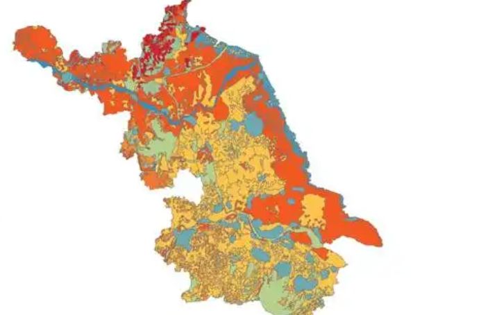
Soil conditions in Jiangsu Province
The natural factors such as climate, geological landforms, parent materials, and vegetation that contribute to the formation of soil in Jiangsu are relatively complex. Soil resources are abundant and diverse, with zonal soils mainly distributed in mountai
Views: 6 Time 2024-12-28