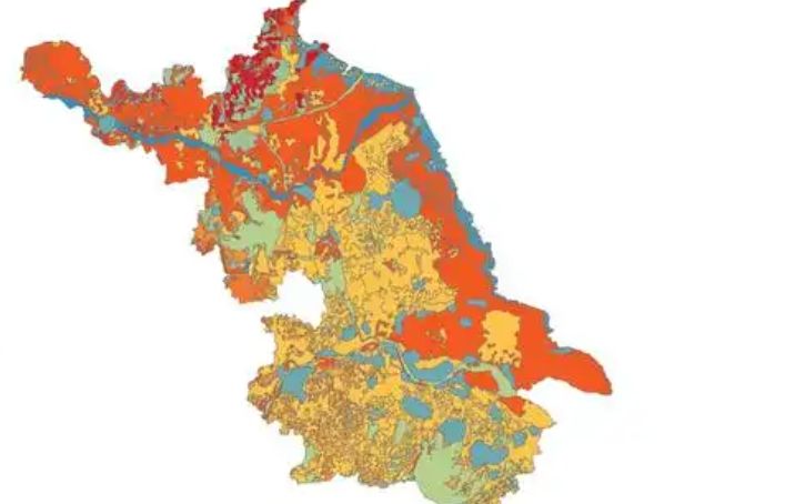
Soil conditions in Jiangsu Province
The natural factors such as climate, geological landforms, parent materials, and vegetation that contribute to the formation of soil in jiangsu are relatively complex. Soil resources are abundant and diverse, with zonal soils mainly distributed in mountains, hills, and hills, with elevations usually above 20 meters. These soils mainly include brown soil, brown soil, yellow brown soil, yellow brown soil, brown red soil, tidal soil, paddy soil, sand ginger black soil, coastal saline soil, lime soil, dark soil, purple soil, swamp soil, etc. Due to the close relationship between the selection of water-saving agriculture technologies and soil clay content, soil clay, loam, and sandy soil can be classified into three categories based on different soil clay content.
Soil conditions in Jiangsu Province
-

Jiangsu Province in the Pre Qin Period
Archaeological discoveries indicate that humans existed on the land of Jiangsu as early as the Paleolithic era, and cultural sites from the New Era have also been discovered in various parts of Jiangsu. During the Xia, Shang, and Zhou dynasties, the Jiang
Views: 14 Time 2024-12-28 -

Jiangsu Province during the Sui, Tang, Song, and Yuan Dynasties
In 581 AD, Emperor Wen of Sui unified China, with the northern part of Jiangsu roughly belonging to Xuzhou and the area south of the Huai River roughly belonging to Yangzhou. In 618 AD, the Li Tang Dynasty was established. During the Tang Dynasty, Jiangsu
Views: 14 Time 2024-12-28 -
Jiangsu Province during the Ming and Qing Dynasties
In 1368, Zhu Yuanzhang established a political power in Yingtian (now Nanjing) as the capital city. Later, Yingtian changed its name to Nanjing and then to Jingshi, also known as Zhili. After Ming Chengzu established the name Yongle, he moved the capital
Views: 18 Time 2024-12-28 -

Jiangsu Province after the establishment of the People's Republic of China
In June 1949, the entire Jiangsu province was liberated. The territory is divided into three provincial-level administrative regions: northern Jiangsu, southern Jiangsu Administrative District, and Nanjing City. In January 1953, three provincial-level adm
Views: 9 Time 2024-12-28 -

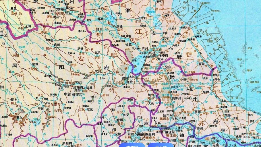
Location and territory of Jiangsu Province
Jiangsu Province is located in the middle of the eastern coastal area of Chinese Mainland, at the lower reaches of the Yangtze River and Huaihe River, bordering the Yellow Sea to the east, Shandong to the north, Anhui to the west, and Shanghai and Zhejian
Views: 12 Time 2024-12-28 -

Climate situation in Jiangsu Province
Jiangsu belongs to a transitional climate from temperate to subtropical, with the Huai River and the main irrigation canal in northern Jiangsu as the boundary. To the north, it belongs to a warm temperate humid and semi humid monsoon climate, while to the
Views: 12 Time 2024-12-28 -

The topography and geomorphology of Jiangsu Province
The terrain of Jiangsu Province is mainly plain, with a land area of 103229.17 square kilometers. Among them, the plain area accounts for 86.89%, reaching 89706.03 square kilometers, the hilly area is 11916.16 square kilometers, and the mountainous area i
Views: 10 Time 2024-12-28 -
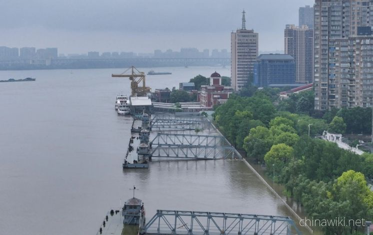
Hydrological and Water Conservancy Situation in Jiangsu Province
Jiangsu Province spans across rivers and coasts, with numerous lakes and a dense water network, adjacent to land and sea. It is the only province in China with large rivers, lakes, and seas. The Yangtze River spans 433 kilometers from east to west, and th
Views: 156 Time 2024-12-28 -
Soil conditions in Jiangsu Province
The natural factors such as climate, geological landforms, parent materials, and vegetation that contribute to the formation of soil in Jiangsu are relatively complex. Soil resources are abundant and diverse, with zonal soils mainly distributed in mountai
Views: 72 Time 2024-12-28 -
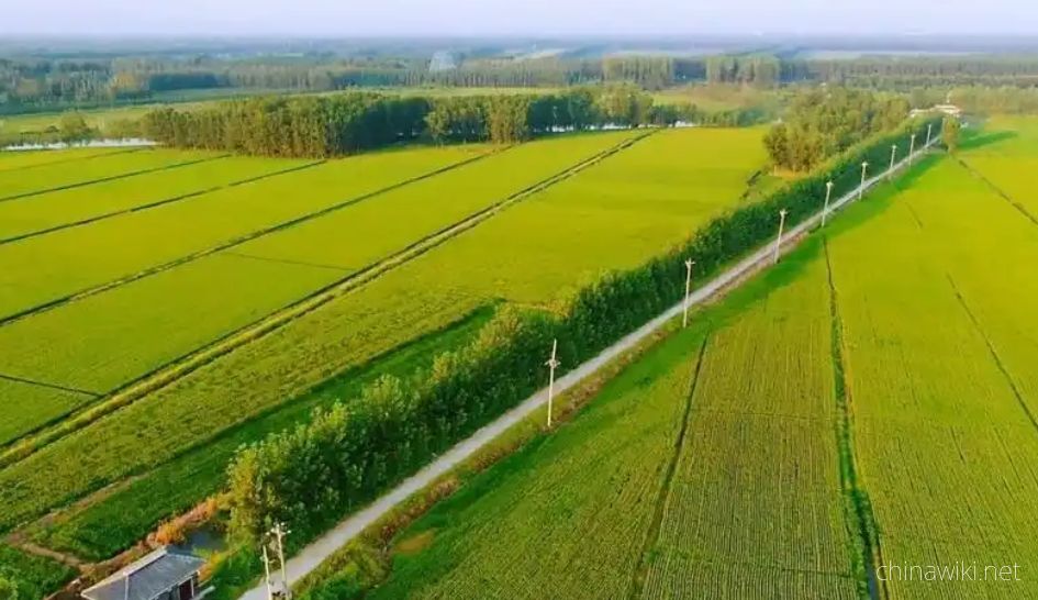
Land Resources in Jiangsu Province
In December 2021, the main data bulletin of the third national land survey in Jiangsu Province showed that there were 61.4839 million mu of arable land in the province, including 42.5758 million mu of paddy fields, accounting for 69.25%; 11.2311 million a
Views: 72 Time 2024-12-29 -

Port resource situation in Jiangsu
As of the end of 2021, Jiangsu Province had 5909 productive port berths and 529 berths of over 10000 tons. The comprehensive annual throughput capacity of ports reached 2.38 billion tons, and multiple indicators such as port cargo throughput capacity and
Views: 66 Time 2024-12-29 -

Biodiversity situation in Jiangsu
On April 30, 2019, the official website of the Department of Agriculture and Rural Affairs of Jiangsu Province announced that Jiangsu Province has abundant plant resources, with over 2200 species belonging to 672 genera in 157 families of seed plants, ove
Views: 76 Time 2024-12-29