Mount Emei
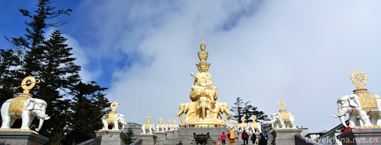
Mount Emei is located in Mount Emei, Leshan City, Sichuan Province, China. It is one of the "four famous Buddhist mountains" in China. It is steep in terrain and beautiful in scenery. It is known as "the beautiful world in Emei". The top of the ten thousand Buddhas on Mount Emei is the highest with an elevation of over 90 meters. It is more than 20 meters above the Emei Plain. "Emei County Chronicle" Yun: "Yun Lan Ningcui, Qian Daiyao make-up, really like the head of a moth eyebrow, thin and long, beautiful and gorgeous, so named Emei Mountain.
Mount Emei is located in the intersection area of various natural elements. Its floristic composition is complex, biological species are abundant, and endemic species are numerous. It has a complete subtropical vegetation system. There are more than 3 200 plants, accounting for about 1/10 of the total plant species in China. Mount Emei is also home to a variety of rare animals. There are more than 2300 species of animals. Mountain road along the way there are more monkeys, often convoy to the tourists for food, for the mountain a major feature.
Mount Emei is the Taoist Temple of Puxian Bodhisattva. Religious culture, especially Buddhist culture, constitutes the main body of Mount Emei's history and culture. All buildings, statues, rituals, music and paintings display a strong flavor of religious culture. There are many historic sites and temples on the mountain, such as Baoguo Temple, Fuhu Temple, Xixiangchi, Longmen Cave, Sheshen Cliff, Emei Buddha Light and so on. It is one of the destinations for tourism, recuperation and summer vacation in China.
The Emei Mountains are Eryu Mountains with an area of about 154 square kilometers, ranging from 29 16 29 43 north latitude and 103 10 103 37 East longitude. There are granite, metamorphic rocks and limestone in the middle and lower part of the mountain, with basalt in the top part.
Emeishan-Leshan Grand Buddha is a world cultural and natural heritage . Emeishan Ancient Architecture Group is the national key cultural relic protection unit, Emeishan scenic spot with Emeishan as the main body is the national key scenic spot, national AAAAAAA class scenic spot.
Mount Emei is situated on the southwestern edge of Sichuan Basin in China. It is between 29 16 29 43 and 103 10 and 103 103 37 in the North latitude. It is the remnant vein of the southern section of Mount Qionglai. It has been uplifted from the Emei Plain and stretched from the north to the South with an area of 154 square kilometers.
Climatic characteristics
The climate of Mount Emei is restricted by three factors (radiation, atmospheric circulation and geography), and topography plays an important role. In the mountain area, there are low clouds, foggy and abundant rainfall (the famous "rain screen in Western China"), and the temperature varies significantly vertically: there are cold zones (above 3047 meters above sea level, annual average temperature is 3.0 degrees centigrade, extreme minimum temperature is - 20.9 degrees centigrade), sub-cold zones (between 2200 meters and 3047 meters above sea level, annual average temperature is 7.6 degrees centigrade), temperate zones (between 1200 meters and 2200 meters above sea level). Rice, annual average temperature of 13.1 degrees C), subtropical (below 1200 meters above sea level, annual average temperature of 17.2 degrees C, extreme maximum temperature of 38.3 degrees C). The average annual precipitation of Mount Emei is 1922 mm, the average annual relative humidity is 85%, the average annual snowfall days are 83 days, the average annual foggy days are 322.1 days, the average annual sunshine at the foot of Mount Emei is 951.8 hours, and the peak is 1398.1 hours. The average annual fog is 139.4 days in Hunan, and 141.3 days in Yu Xiang.
Soil distribution
The main soil types in Emei Mountain are yellow soil, mountain yellow soil, yellow brown soil, mountain dark brown soil and subalpine calcified soil. Soil vertical distribution is obvious, can be divided into four vertical zones, the altitude below 1800 meters belongs to yellow soil, mountain yellow soil with purple soil zone, altitude 1800-2200 meters belongs to mountain yellow brown soil zone, altitude 2200-2600 meters belongs to dark brown soil zone, altitude above 2000 meters belongs to mountain calcified soil, mountain meadow soil zone.
Hydrologic situation
Overview
Emei Mountain is located in the Da (Du River) Qing (Yi River) water system. There are five natural rivers in the territory, namely Emei River, Linjiang River, Longchi River, Shihe River and Huaxi River. The Huaxi river is bounded by the northwest border and Hongya county. The remaining 4 were originated from Mount Emei, and were injected into the Dadu River and Qingyi River in the East, South and Southeast. The water collecting area is about 100 square kilometers, including Emei River, Linjiang River and Long Chi river. Emei Mountain Scenic Spot is located in the upper reaches of Emei River, Linjiang River and Longchi River. The main rivers in the scenic spot are Fuwen River (including black water, white water and black water), Hongxi River (including Chuanshan River, Yoga River), Zhanggou River, Yan'er River, Huaxi River, etc.
Water body
1. surface water
The regional variation of surface water runoff in Mount Emei is similar to that of precipitation. Its runoff is as high as 1800 millimeters, 3 times the west coast of the Dadu River. The annual runoff distribution is uneven, generally the runoff from June to September accounts for more than half of the total annual runoff, followed by October to February, March to May again. In a year, January is the least in August, and the difference is more than 7.4 times in the year. In spatial distribution, it increases with the elevation, the southeast is the low value area, the northwest is the high value area. The natural rivers collected have the characteristics of steep slope, short flow, and easy to rise and dry. For example, the Emei River has a constant flow of 2.5 cubic meters/sec, a low flow of 0.1 cubic meters/sec and a flood of 800 cubic meters/sec; the Linjiang River has a low flow of 0.11 cubic meters/sec and a flood of 800 cubic meters/sec; the Longchi River has a low flow of 2.5 cubic meters/sec and a flood of 859 cubic meters/sec.
2. groundwater
The Emei Mountains are characterized by complex geological structure, distribution of pre-Sinian to Cretaceous aquifers and aquifers, groundwater is mainly stored in structural fissures and limestone corrosion. But because the Emeishan large fault passes through, the fault fracture band reaches 50-100 meters, and accompanied by a large number of secondary faults, resulting in most of the main aquifers were destroyed, buried in the deep underground, exposed surface also followed by inversion; and because of the strong rise of the new structure, the surface Valley is deep, generally 200-500 meters, more dramatic. The destruction of aquifer greatly weakens the dissolution of carbonate formation, and there are larger karst caves and cave springs on both sides of the gully. Groundwater is recharged directly by atmospheric precipitation, partly by deep aquifers along the fault zone, and the rest by shallow aquifers, after a short path of movement, will be discharged from the surface at the bottom of the valley in the form of descent, so the outcrop of surface springs is not much, and even in the dry season in the valley, water is very rich. The groundwater belongs to bicarbonate type, and its salinity is generally less than 0.5 g/L. It belongs to the type of fissures, solution fissures and phreatic water with intense circulation. Due to the control of meteorological factors, it flows into the plain along the gully and becomes one of the sources of pore spring water supply.
Water system
Fu Wen River and Hong Xi River are the two tributaries of Emei river. Fuwen River has two north-south sources: the Heishui River in the north, the Shengua Mountain in the north of Mount Emei, and the Shengua Mountain near the Gongbei Mountains. It flows southeast through Maziba, to Heixiangdongna from Papaya Garden, and runs south to the mouth of the two rivers in Tianjingxiangxiang Township, and the Heibai River in the south. On the left, Baishui flows from the stalagmite peak near Mahayangsi Temple and Xixiangchi Lake, and flows 15 kilometers through the Qingyin Pavilion to meet the Black Water. On the right, the Black Water flows from the Jiulao Cave and flows through the 99 inverted turning, Hongchunping and Heilongjiang Trestle Road (a line of sky). It is about 15 kilometers long and meets the White Water in the Qingyin Pavilion. After the confluence, the famous Baoxian River flows 3 kilometers downstream. At the mouth of the two rivers, it pours into the Fu Wen River from the right and goes out of the Longmen Cave. From its source to Longmen Cave, the Fuwen River is a river with a high valley, a turbulent current, a length of about 50 kilometers, a cumulative rainfall area of 486 square kilometers, a total fall of more than 1000 meters, an average specific drop of 20%, and an average annual flow of 17 cubic meters per second. A Longmen cave will enter the Emei plain and the water will be gentle.
There are two streams in the rainbow stream: the Yoga River (also known as Fu Hu Gou) and the rush river. Yoga river originates from Lei rock, via Fu Hu temple, road bridge, Yu Xian bridge, and Cai Tuo to catch up with the mountains and rivers. The river runs from Zhangshan to Jujiahe in Juchu trough and Chengjiahe in Guan'e Chang. After Caituohe Yoga River, it is called Hongxi River, and the Meidatan in Shengli Township flows into Emei River.
The Shihe River originates in the area of the Ten Thousand Buddha Ting and Jieyidian of Mount Emei. It flows through the Tongchang Dam, the small wedge head and the Fenping Dam (the foot basin dam). Springs overflowing from the Longdong Cave in Longdong Village flow into the Wuhe and Huaxi rivers in the south of Hongya County and into the Qingyi River in Hongya Zhige Township.
Zhang Gou river is one of the main tributaries of Linjiang River (ancient name Luo Mu River). Originated from the Emeishan Dragon Dragon, southeast flows through the Wild Boar River Dam, the Yaoqiaogou, the Zhanggou Hydropower Station to the Curling Stone. The Dagou River originating from the Shaba and the Huangyuba Valley originating from the Duguan River flow into the Erdao River under the Guanyin Bridge. It flows to Gaoqiao to meet the Liuxi River (also known as Yinsi River) and to the Longfeng Bridge in Qinglong Town to join the Xiaoxi River at Jiulizhenhui. The copper pipe Creek (also known as the Shaxi River) is injected into the riverside river at kuoba. The Zhanggou River flows from west to east, and the other tributaries flow from north to south into the main stream, forming a flat and open, unilateral plume-like river system with a total drop of 700 meters in the Linjiang River.
One of the three major tributaries of the Longchi River in the Yan'er River system,originating from the northern peak of the Heishan ridge south of Mount Emei,flows through the Manyinggou to the two estuaries and the Heishan ridge and the Liudaohe rivers from which the Heishan ridge and the Liudaohe rivers originated,and flows into the Guanyin River from Kusongping to Laolinkou. The Wanhe River that comes from Jianzhugang is called Longchi River (also known as Jianzhu River). It goes out of Longchi Town and converges Houxi River in Dawei Township. It crosses Nanxiang, Dawei Sulphur Factory and Elephant Trunk Power Station and pours into Dadu River in Heping Township.


-
Huizhou West Lake Scenic Spot
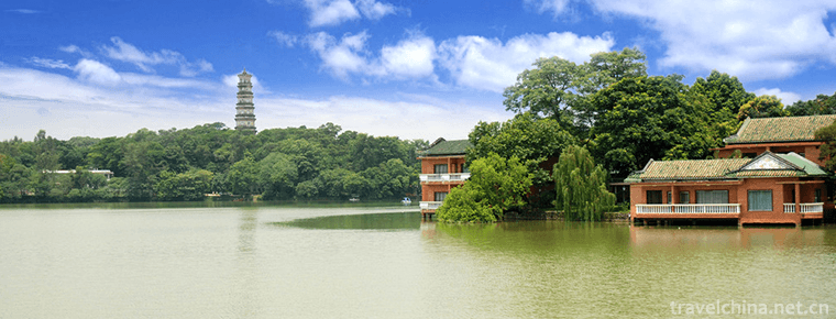
Huizhou West Lake scenic area is located in the central area of Huicheng in Guangdong Province, Southeast of Huizhou City, consisting of West Lake and the Red Lake, a total area of 20.91 square kilome.
Views: 114 Time 2018-12-12 -
Guanshi Pomegranate Garden Eco cultural Tourist Area
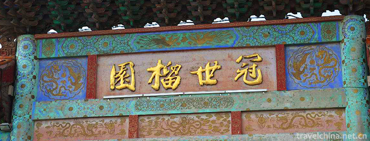
Guanshi Pomegranate Garden Eco-cultural Tourist Area is located in the south of Zaozhuang City, Shandong Province, and in the west of Fucheng District. It is 22.5 kilometers long in East and 22.5 kilo.
Views: 159 Time 2018-12-26 -
Tanxi Mountain Scenic Area
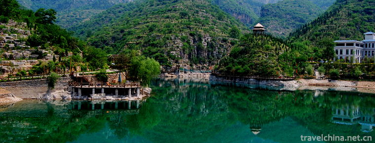
Tanxi Mountain Tourist Area: National AAAA Tourist Area, National Forest Park, National Geopark, National Water Conservancy Scenic Area and Key Scenic Spots in Shandong Province..
Views: 194 Time 2019-02-13 -
Yao Wan ancient town
Yaowan Ancient Town is located in the southwest edge of Xinyi City, Xuzhou City, Jiangsu Province, at the junction of Beijing-Hangzhou Grand Canal and Luoma Lake, and is connected with Suqian, Suining.
Views: 224 Time 2019-03-03 -
Kite making skills
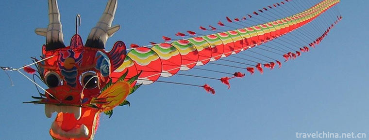
Kite making skills, Weifang City of Shandong Province, Nantong City of Jiangsu Province, Lhasa City of Tibet Autonomous Region, Beijing, Tianjin and other local traditional skills, one of the national.
Views: 120 Time 2019-04-29 -
Lanzhou Taiping Drum
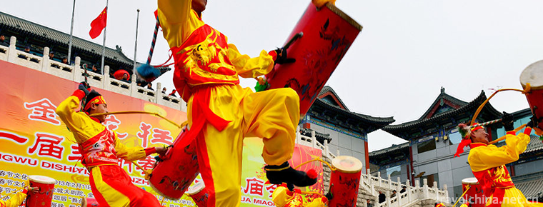
Lanzhou Taiping Drum, a traditional dance in Lanzhou City, Gansu Province, is one of the national intangible cultural heritage..
Views: 254 Time 2019-05-10 -
Lishui drum words
Lishui Drum Ci is a popular rap art in Liandu and its surrounding areas in Lishui City, Zhejiang Province. Lishui Drum Ci originated from the Tang Dynasty. During the reign of Emperor Li Shimin, it wa.
Views: 335 Time 2019-05-13 -
Brow tune
Meihu Opera is a local traditional drama in Shaanxi Province. From the development of the floor stall rap and social fire, the floor stall and social fire performances always focus on singing. Its act.
Views: 160 Time 2019-06-01 -
Yongnian Western Dialect
Yongnian Western Dialogue is an independent drama formed after Shangdang Bangzi of Shanxi was introduced into Yongnian. During the period of Xianfeng in Qing Dynasty, Shangdang Bangzi was introduced i.
Views: 159 Time 2019-07-14 -
Chengdu Dien Photoelectric Technology Company
As an energetic, young crystalline materials technology company, DIEN TECH specializes in the research, design, manufacture,and sell of a series of nonlinear optical crystals, laser crystals, magneto-.
Views: 396 Time 2019-09-11 -
Explanation service of Chengdu Giant Panda Base
Chengdu Research Base of giant panda breeding has set up an explanation service station at the entrance to provide high-quality explanation service for tourists who have a better understanding of giant panda knowledge. At present, there are 11 full-time commentators in the.
Views: 384 Time 2020-12-13
