Xixi National Wetland Park
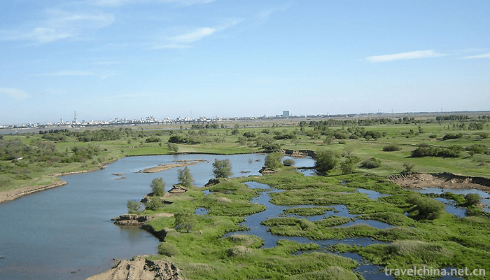
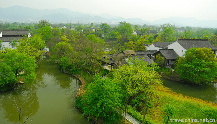
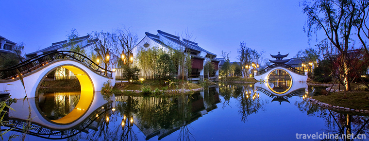
Xixi National Wetland Park is located in the west of Hangzhou City, Zhejiang Province. It is only 6 kilometers away from Wulin Gate, the main city of Hangzhou, and 5 kilometers away from West Lake.
The total area of Xixi National Wetland Park is about 11.5 square kilometers, which is divided into the eastern wetland ecological protection and cultivation area, the central wetland ecological tourism leisure area and the Western wetland ecological landscape enclosure area.
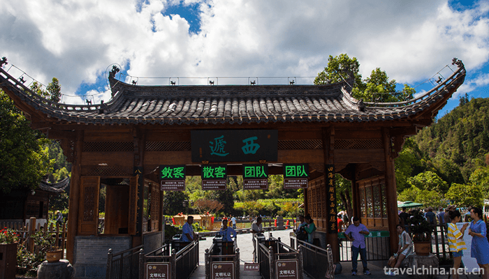
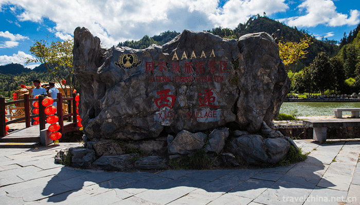
Xixi National Wetland Park is a national wetland park which integrates urban wetland, farming wetland and cultural wetland. On November 03, 2009, it was listed in the list of important wetlands in the world. On January 10, 2012, it was awarded the National AAAAA Tourist Scenic Spot. In December 2017, it was selected as the national practical education base for primary and secondary school students.
Ancient prototype
Four or five thousand years ago, Xixi's low-humid land was flooded by spring and summer floods in Tianmu Mountains, where it became a lake, and wetlands appeared when it was dry. Wetland is a phenomenon that occurs with its appearance, so it can be called embryonic stage. From the first year of Xiping in the Eastern Han Dynasty (172) when the South Lake was built, to the end of the Tang Dynasty and the Five Dynasties, there was about a thousand years, which was the formation period of Xixi Wetland.
Development of song and Yuan Dynasties
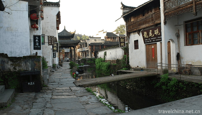
In the Song and Yuan Dynasties, in the first year of Duangong (988), the court officially built Xixi Town here. This is the beginning of the new stage of Xixi, which also shows that Xixi is an ancient town for thousands of years. During the Ming and Qing Dynasties, social economy and culture on both sides of Xixi River made progress in many aspects. Agricultural and sideline industries such as fish raising, silkworm breeding, bamboo planting, bamboo shooting, tea, fruit and vegetable were developed, which became the characteristics of suburban agriculture.
Atrophy of Republic of China
After the Republic of China, wetlands were shrinking day by day. By the 1950s, with the establishment of many towns in Xixi area and the development of factories and enterprises, the scope of Xixi wetland was gradually reduced.
Development and transformation
In 2003, the Hangzhou Municipal Committee and the Municipal Government began to protect Xixi Wetland comprehensively.
In 2005, Xixi Wetland was built and officially opened, and approved by the State Forestry Administration as the first national wetland park.
In 2006, Xixi Wetland started the second phase of comprehensive protection project.
In 2007, the second phase of Xixi Wetland was limited to open gardens, and the third phase of Xixi Wetland Project started construction.
In September 2008, the third phase of Xixi Wetland Comprehensive Protection Project was limited.
Xixi National Wetland Park is located in the west of Hangzhou City, Zhejiang Province. It spans two districts: West Lake District and Yuhang District. It is only 6 kilometers away from Wulin Gate, the main city of Hangzhou, and 5 kilometers away from West Lake. The total area of the park is about 11.5 square kilometers.
Geology and geomorphology
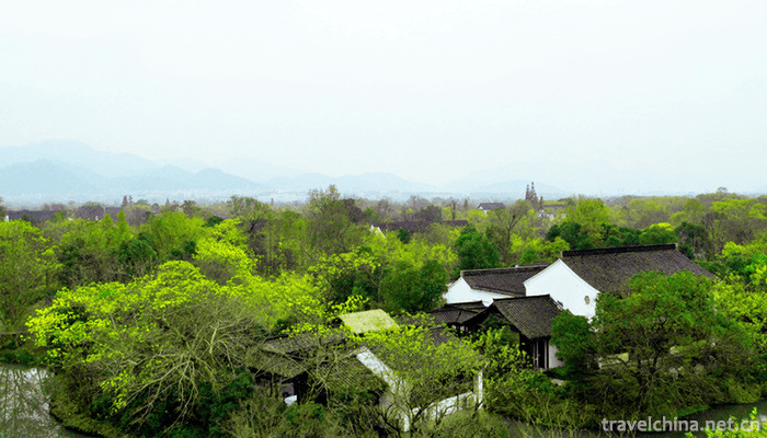
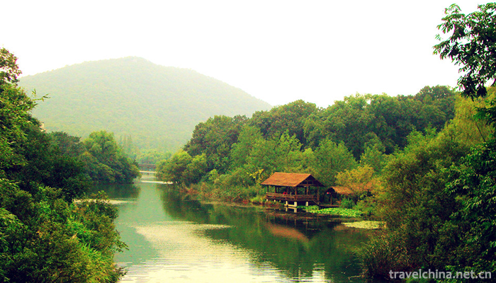
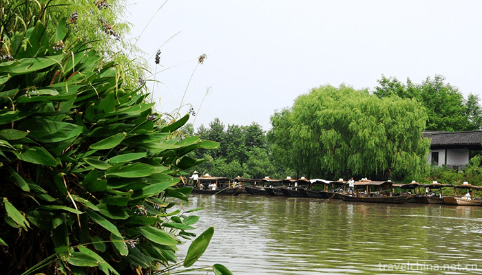
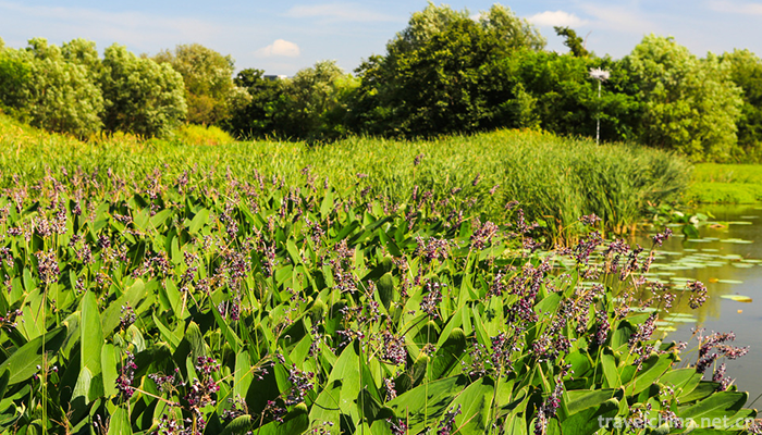
The river of Xixi National Wetland Park is more than 100 kilometers long, and about 70% of the area is river harbor, pond, Lake ripple, swamp and other waters, among which water channels such as lanes, river branches such as nets, fish ponds and islands are scattered; the land greening rate is over 85%. The main soil types are red soil, lithologic soil and paddy soil, among which red soil and paddy soil are the most important. Cloth is the most widely used.
climate
Xixi National Wetland Park is a subtropical monsoon climate, with an average annual temperature of 15.17 C, an average annual relative humidity of 78%, an average annual precipitation of 1399 mm, mild climate, abundant rainfall, long sunshine and distinct seasons.
The spatial layout of Xixi National Wetland Park can be summarized as "three districts, one corridor and three belts".
"Three districts" refers to the west side of the green belt of Zijin Port Road in the east, along the mountains and rivers in the south, and the extension of Wenxin Road in the north. The western boundary is from Janjan to Baojiatang Port (Jiangcun Port). The total area is about 2.70 square kilometers, basically fishpond wetland, with a small number of river ports, and the tourism resources in the area are very few, which are totally closed. Jiatan Port, from Wuchang Avenue in the south to the east of the green space of the highway around the city in the West and Xinkai River in the north, has a total area of about 2.80 square kilometers. The area also belongs to Yutang wetland, with fewer river ports and few historical and humanistic tourism resources, so it can achieve a certain period of full-closed protection and create original wetland; the central part of the area rises from the east to Baojiatang Port, from the south along the mountain and river, from the north to the extension of Wenxin Road, and from the east to the south of the greening belt of the encircling highway, the northern part of the western part turns southward. To Nianjiagang (Xinkai River), Chaotianmu Port, and then south to Changjiatan, a total area of about 5.90 square kilometers, in addition to fish pond wetland, the river network is dense, wetland natural landscape is the most obvious, and more historical and cultural sites, wetland ecotourism leisure area.
"One Corridor" is a 50-metre wide multi-layer green landscape corridor which will surround the reserve. It consists of five levels: evergreen tall trees, low trees, shrubs, herbs and waterfront plants.
"Three belts" refer to the "urban forest-yin customs belt" along Zijingang Road, the "waterfront wetland landscape belt" along mountains and rivers, and the "canal pastoral scenery belt" in Wuchanggang.
Xixi wetland is an important part of Hangzhou green space ecosystem. Wetland can regulate the atmospheric environment, rich animal and plant communities in the wetland can absorb a large amount of carbon dioxide and emit oxygen. At the same time, it can also absorb harmful gases to purify the air, to cope with urban air pollution, and to serve the city. Sufficient water sources and good climatic conditions are provided.
Xixi wetland is also a typical diversified ecosystem. Its complex and diverse plant communities provide good habitats for wildlife. It is a breeding, habitat, migration and wintering place for birds and amphibians, and plays an important role in improving urban species diversity.
On September 8, 2017, according to the industry standard of "National Wetland Tourism Demonstration Base", 10 national wetland tourism demonstration bases were identified as the first batch by provincial recommendation and expert group evaluation of the National Tourism Resources Planning and Development Quality Assessment Committee.
In December 2017, it was selected as the first batch of national practical education bases for primary and secondary school students.
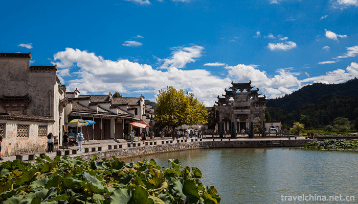
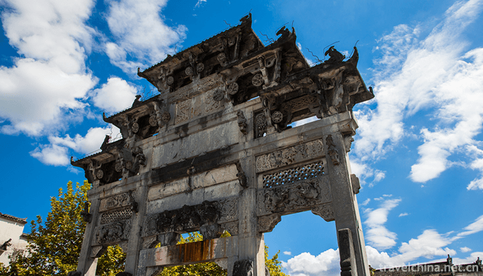
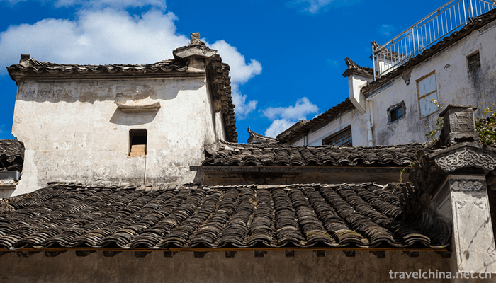
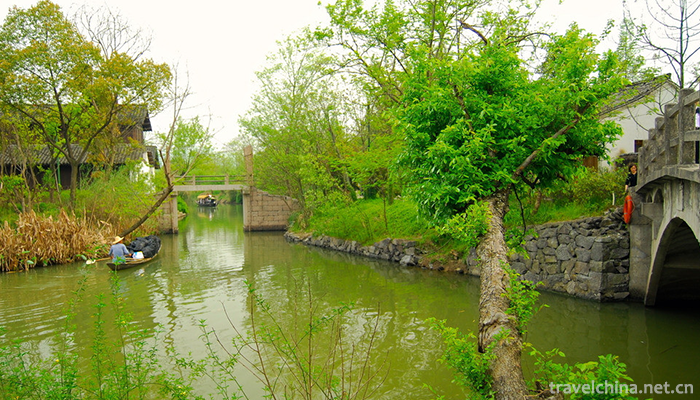
Xixi National Wetland Park
-
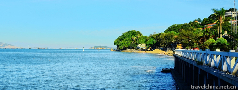
KulangsuGulangyu Islet
Gulangyu, formerly known as "Yuanshazhou", alias "Yuanzhouzi", was appointed "Wulongyu" in the Southern Song Dynasty and renamed
Views: 163 Time 2018-11-11 -
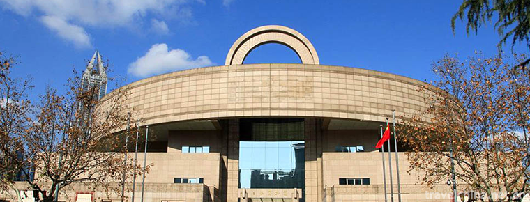
Shanghai Museum
The Shanghai Museum was founded in 1952. It was originally located at the Old Jockey Club at 325 Nanjing West Road. It moved to the Zhonghui Building at 16 Henan South Road in October 1959
Views: 150 Time 2018-12-19 -
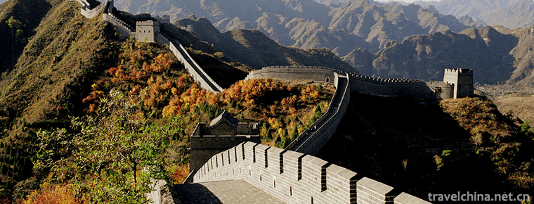
Huang Yaguan the Great Wall
The Great Wall of Huangyaguan lies in the mountains 28 kilometers north of Jizhou District. Historically, there were 18 garrison piers and abutments in Jizhou City. Huangyaguan Pass
Views: 75 Time 2019-01-19 -
Senbora Resort Forest Scenic Area
Senbora, a landscape world in ancient forests, a paradise of pleasure water under glacial ruins, a national 4A-class tourist attraction, is located at the exit of Fogang Expressway in Fogang County
Views: 206 Time 2019-02-07 -
Changli folk songs
Changli folk song is a kind of local folk ditty inherited from generation to generation by Changli people. The content of singing can be divided into four categories: labor chant, story and legend, lo
Views: 237 Time 2019-04-15 -
Traditional Sugar making Techniques
In the memory of many Wenzhou people, when they were young, they were short of doctors and medicines, but the old people had many earthen prescriptions which were very useful.
Views: 137 Time 2019-04-21 -
Jiangxi opera
Gan Opera is a traditional opera which sings high-pitched, random-play, Kun Opera and other tunes in a multi-tone way. The dialect used is Gan dialect. Its origin and predecessor
Views: 110 Time 2019-04-30 -
Paper cut art
Chinese paper-cut is a kind of folk art that uses scissors or carving knives to cut patterns on paper, to decorate life or to cooperate with other folk activities. In China
Views: 308 Time 2019-05-05 -
Circus
Circus is one of the acrobatics. Originally, it refers to the performance performed by people on horses. Now it is a general term for the performance of various wild animals and domesticated birds. It
Views: 145 Time 2019-05-16 -
Female Book Custom
Jiangyong Nu Shu in Yongzhou, Hunan Province, is the only special written language for women in the world. Its development, inheritance and cultural information as symbols constitute the custom of wom
Views: 133 Time 2019-06-08 -
Leather Paper Making Skills
Leather paper making is an ancient Chinese traditional handicraft. Paper making is one of the four great inventions in ancient China. Bamboo paper and leather paper made from bamboo and tussah bark ar
Views: 106 Time 2019-06-09 -
Tujia Year
Tujia Year is an important and ancient festival of Tujia people in Xiangxi Tujia and Miao Autonomous Prefecture of Hunan Province. During the thousands of years of historical development, some relativ
Views: 208 Time 2019-06-23
