Tianshan Grand Canyon Scenic Area Urumqi
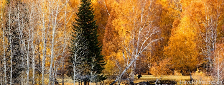
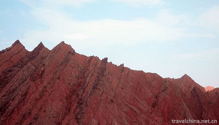
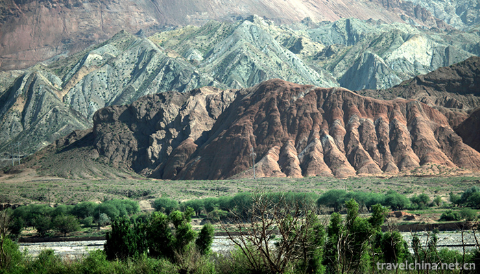
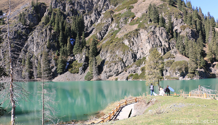
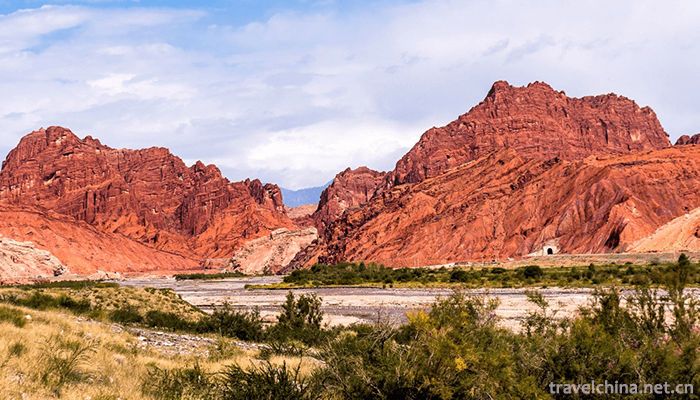
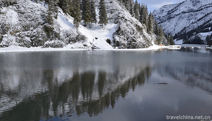
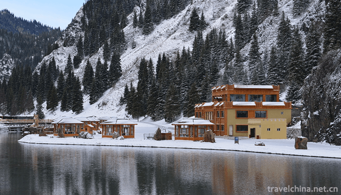
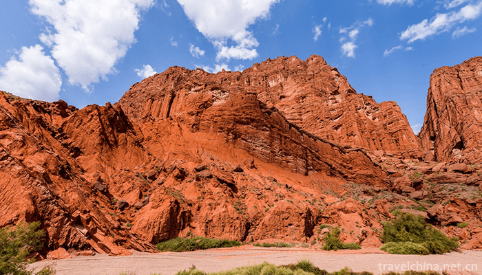
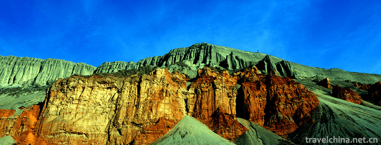
Tianshan Grand Canyon Scenic Area is located in Urumqi County, 48 kilometers away from the urban area. The total planned area of the scenic spot is 1038.48k, surrounded by mountains on three sides, with an average altitude of 2020 meters and an average annual temperature of 4-6 C. It is the most complete and ornamental primitive snow mountain spruce forest on the northern slope of Tianshan Mountain. It covers all natural landscapes except desert in Xinjiang. It is a living museum of nomadic culture before human farming civilization. It has high tourism appreciation, scientific investigation and historical and cultural value. It is rated as national forest park, national sports and leisure base, national AAAAA scenic spot, national fitness and outward bound sports training base of autonomous region, walking sports base of autonomous region and national fitness and mountaineering training base of autonomous region.
Development history
It was a famous hunting area in the Tang Dynasty.
It was a famous pasture in the Qing Dynasty.
As early as the Qing Dynasty, it has been used for summer tours.
Although not vigorously developed at the beginning of liberation, construction started in 2005, and the scenic spot officially opened in 2008, in 2011, the Tianshan Grand Canyon scenic spot in Urumqi successfully ranked among the national AAAA-level tourist attractions. In December 2013, Tianshan Grand Canyon Scenic Area in Urumqi successfully entered the national AAAAA-level tourist attractions. Zhang Lanqi, chairman of the board of directors, grasped the tourist market while creating the brand image of the scenic spots.
geographical position
Tianshan Grand Canyon Resort is located in the southern suburb of Urumqi, capital of Xinjiang Uygur Autonomous Region, Banfanggou Township of Nanshan, 48 kilometers away from Urumqi City, with an average elevation of 2000 meters, an average annual temperature of 4-6 degrees C. It spans Banfanggou Township, Toli Township and Shuixigou Township of Urumqi County, covering most of Zhaobishan National Forest Park. The total planning area of the scenic spot is 1038.48k. The scenic spot starts from Banfanggou Township Forest Pipe Station in the north, and goes south to the boundary of Toxon County, east to 216 National Highway in Urumqi County and west to 103 Provincial Highway. The longest section of the whole scenic area is about 49 km in the north and south, and the longest section in the East and West is about 42.5 km in width. The scenic area is situated on the north slope of the middle part of Tianshan Mountains, between Bogda Peak and Tianger Peak, between Banfanggou Township Dengcaogou Estuary in the middle part of Tianshan Mountains, and on the southern margin of Junggar Basin.
topographic features
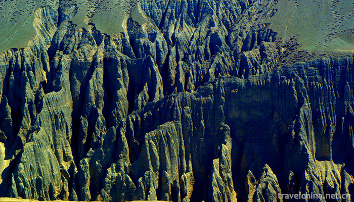
The overall topography of the resort is high in the South and low in the north, inclining from south to North and from southwest to northeast. Its planning scale is 1038 square kilometers, relying on Zhaobi Mountain National Forest Park and Zhaobi Mountain Scenic Area, it is a new scenic spot group of Nanshan Ranch in the famous scenic spot. The scenic area of Tianshan Grand Canyon is located in the upper part of alluvial fan on the northern slope of Tianshan Mountains. The stratum is loose Quaternary deposits. The sand layer is about 1 m, which contains a small amount of gravel. The surface vegetation type is desert grassland (which can be planted crops). The water resources in the area are good. Several mountain and stream rivers in the scenic area flow between the two mountains, forming a rare forest canyon.
Characteristics of scenic spots
According to folklore, Zhaobi Mountain is named for its steep mountains, sunshine and rivers competing for glory. There are also myths and legends: Tang monks and apprentices went to the west to collect sutras, once passed by this place, met with seven serpents and demons, and designated to fight with Sun Wukong. Sun Wukong was too lazy to start. He plucked a fairy hair and turned it into a fairy fruit and threw it at Zhaobi Mountain. The serpent was dripping, and rushed to the fairy fruit from three different directions at the same time, competing with each other, and was fixed here by the mantra of the Great Sacred.
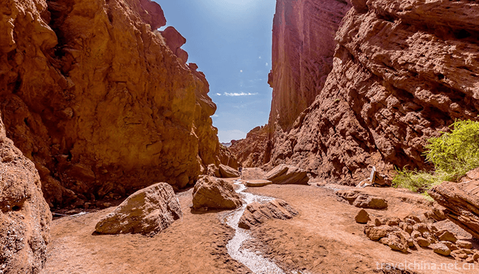
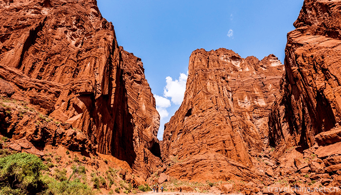
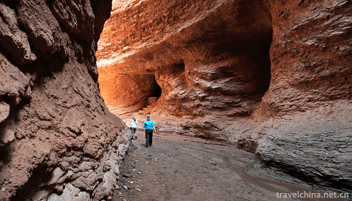
On the southern side of Zhaobi Mountain, the cliffs on both sides of the valley are opposite, only a line of blue sky is exposed, forming a famous water gorge of more than ten kilometers long. Among them, Wudaowa section of the back mountain is covered with deep forests and grass, the cliffs are pressing water, and there are many stone gates and hills turning back. The environment is quiet and dangerous. There are often wapiti, roe deer, wild boar and so on. It is a good place for exploring and eco*tourism.
Value of meaning
It is the most complete and ornamental primitive snow mountain spruce forest on the northern slope of Tianshan Mountains. It covers all the natural landscapes in Xinjiang except desert. It is a living museum of nomadic culture before human farming civilization. It has high tourism appreciation, scientific investigation and historical and cultural value. It has been rated as national forest park, national sports and leisure base, national AAAAA scenic spot and autonomy. Regional national fitness development sports training base, autonomous region hiking base, autonomous region national fitness mountaineering training base.
Traffic routes
Self-driving tour route: the whole journey from Ili Prefecture to Grand Canyon is 732.4 km/6 hours and 59 minutes. 2. G30161, Lili Kazakh Autonomous Prefecture, travels 52.4 km along G3016, facing Jinghe/Lianhuo Expressway/G30 direction.
Self-driving route:
Along the river beach expressway, Yannan overpass passes Urapur Driving School, Tianshan Avenue Toll Station, Ganhezi Bridge, and goes straight to the intersection of Shuixigou and Banfanggou, to the direction of Nanshan Banfanggou and to the gate of the scenic spot through Banfanggou Township.
Bus route:
South Suburb Passenger Station-Huanghe Road Middle Bridge: Bus fare 20 yuan to and from the scenic spot
Tianshan Grand Canyon Scenic Area Urumqi
-
Lijiang bacon pork
Views: 384 Time 2018-10-17 -
The peak of unique beauty Duxiufeng
Duxiufeng is located in Jingjiang King's City in the center of Guilin City, Guangxi. It is an inseparable part of the King's City Scenic Area. Gufeng protruding, steep, magnificent, known as "a p
Views: 184 Time 2018-12-12 -
Cocotto Sea Scenic Area
The Cocotto Sea Scenic Area and Xinjiang Cocotto Sea National Geological Park, located in Fuyun County, Altay District, northern Xinjiang, covers an area of 788 square kilometers,
Views: 209 Time 2018-12-12 -
Kedao
Kedao, the local traditional folk literature of Shibing County, Guizhou Province, is one of the national intangible cultural heritage.
Views: 284 Time 2018-12-15 -
Bigan Temple
Bigan Temple, located in Weihui, Henan Province, is one of the most important temple-tomb complex. It is the first temple in China with tomb-worshippers, known as "the first temple in the world&a
Views: 203 Time 2019-01-02 -
Cheng Yang eight Zhai
Chengyang Bazhai is located in Sanjiang Dong Autonomous County, Liuzhou City, Guangxi, 19 kilometers away from Sanjiang County. There are eight natural villages in Chengyang Bazhai, commonly known as
Views: 127 Time 2019-01-05 -
Shantou Fangte Happy World Blue Mercury Theme Park
Shantou Fangte Happy World Blue Mercury Theme Park is the first participatory high-tech theme park in eastern Guangdong with science fiction as its theme, integrating entertainment,
Views: 235 Time 2019-02-08 -
Buyi Eight tone Sitting Singing
Buyi eight-tone sitting-singing, also known as "Buyi eight-tone", is a form of folk music and singing handed down from generation to generation by the Buyi people
Views: 139 Time 2019-04-04 -
The seafood tune of the Yi nationality
The seafood tune of the Yi nationality Shiping Yi seafood tune, also known as "Shiping tune" and "Quzi", is commonly known as "inverted paddle". It is named after a herba
Views: 328 Time 2019-07-12 -
Chongzhou Confucian Temple
One of the four best preserved Confucian temples in Sichuan Province. National key cultural relics protection units. Confucius Cultural Center in Western China. It is located in the south of Chongzhou painting pool.
Views: 349 Time 2020-11-05 -
Luodai Ancient Town
Luodai Ancient Town is located in Longquanyi District, Chengdu City, Sichuan Province, with a total area of more than 20000 square meters. Luodai Ancient Town is a national historical and cultural town and one of the five "Dongshan five fields" in Chengdu.
Views: 184 Time 2020-11-05 -
Kangding yak meat
There are many wild medicines such as Fritillaria, Cordyceps and so on growing in these areas over 3500 meters. Yaks often eat these herbs, and their meat is incomparably delicious. After being killed, they can be roasted in brown sauce, stewed or dried in the cold
Views: 214 Time 2020-12-06
