Nanchong landform
Nanchong landform
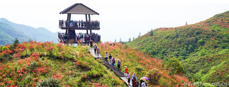
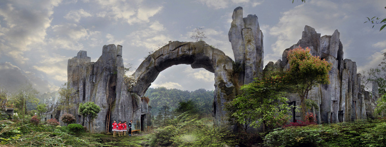
Nanchong terrain inclines from north to south, with an altitude of 256-888.8 meters. The main geomorphic types are hills, and 1 / 3 of them are high hills and low mountains, middle hills and valleys, and low hills and dams. The geomorphic types of the whole city are divided into two categories: the northern low mountainous area and the southern hilly area. The northern low mountain areas include the north of Langzhong City, the northwest of Nanbu County, most of Yilong County, the east of Yilong River in Yingshan County, and the north of Pengan county. The altitude is generally 500-800 meters, and the relative height is 200-300 meters. Tianmaoshui mountain in Longquan town of Langzhong City and chendazhai mountain in the northeast of Yingshan County are the highest peaks in Nanchong, with an altitude of 888.8 meters. The northern low mountain area is roughly bounded by the Jialing River, which is divided into two parts: Jiangxi is the branch of Jianmen mountain, and Jiangdong is the branch of Daba Mountain. The southern hilly area is located in the south of the northern low mountainous area, which roughly includes all of the three districts (Shunqing, Gaoping and Jialing) and Xichong County, most of Langzhong, Yingshan, Pengan and a small part of the southwest corner of Yilong county. The terrain gradually decreases from north to south, and the altitude drops from 500 meters to 256 meters, and the landform gradually changes from high hills to low hills or low hills and flat dams. Under the influence of long-term running water and tributaries of Jialing River, the mounds are fragmented and of different sizes. It is generally distributed in clusters, mostly with pointed or dome shaped, in the shape of table or ridge.

Nanchong landform
-
The Beijing Palace Museum
The Beijing Palace Museum was established on October 10, 1925, and is located in the Forbidden City of the Beijing Palace Museum. Based on the palaces of Ming and Qing dynasties
Views: 224 Time 2018-11-24 -
Huaxia City Tourist Scenic Spot
Weihai Huaxia City Scenic Area belongs to Huaxia Cultural Tourism Group Co., Ltd. It is located in Weihai, a beautiful seaside resort city.
Views: 258 Time 2018-12-08 -
The ancient city of Qingzhou
Qingzhou ancient city is one of the ancient nine states. It has a history of more than 7,000 years, a history of civilization of more than 5,000 years
Views: 236 Time 2018-12-08 -
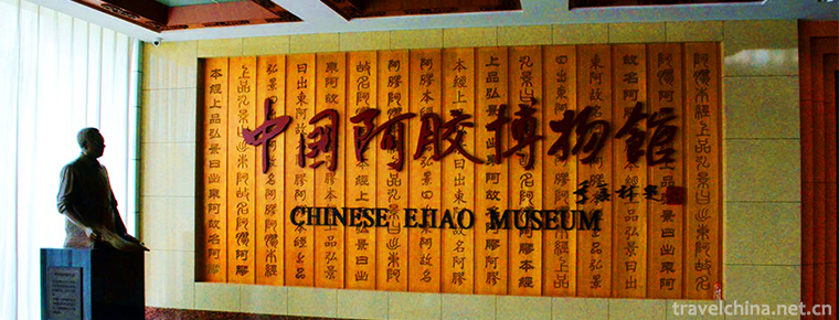
China Ejiao Museum
China Ejiao Museum, built in 2002, is located at the foot of Mount Tai, east of Donga County on the Bank of the Yellow River. It is funded by Donga Jiao Group, the largest Ejiao production enterprise
Views: 164 Time 2018-12-22 -
Daweishan National Forest Park
Dawei Mountain is located in the boundary between Hunan and Jiangxi Province, the hinterland of Lianyun Mountains, the East is Tonggu County under the jurisdiction of Yichun City, Jiangxi Province
Views: 158 Time 2019-01-07 -
Kaiping Diaolou and Villages
In Kaiping city, there are many blockhouses, towns and countryside. There are more than a dozen villages and less than two or three villages. From Shuikou to Lily
Views: 106 Time 2019-01-29 -
Kunlun Mountains
Kunlun Mountain, formerly known as Kunlunqiu, also known as Kunlunxu, is the god mountain in ancient Chinese legend, the ancestor of Wanshan Mountain, the birthplace of Chinese civilization, and the k
Views: 177 Time 2019-01-29 -
Construction Techniques of Traditional Residential Buildings in Southern Fujian
South Fujian residential building technology is a unique traditional architectural technology originating in Quanzhou, which began in Tang and Five Dynasties, is the mainstream of ancient architectura
Views: 171 Time 2019-06-05 -
Pansori
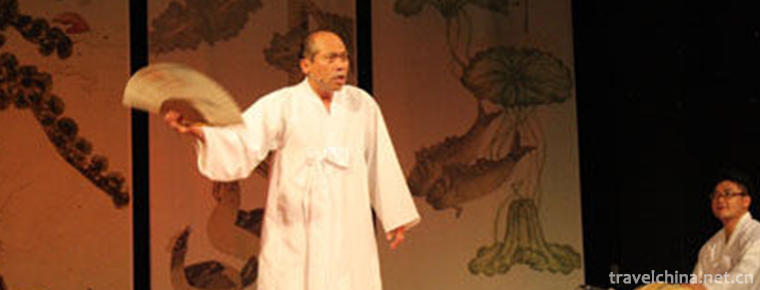
The main art of Korean folk art is Pan Suo Li, which appeared in the 18th century. At the beginning of the 20th century, it was introduced into China with the immigration of Korean nationality. The wo
Views: 204 Time 2019-06-08 -
Yamugou scenic spot
Yamugou scenic spot is located on the Bank of Taiping River (a famous scenic spot in Guizhou Province) in Jiangkou County, Tongren City, Guizhou Province, adjacent to Fanjing Mountain (National Nature Reserve, China's top ten famous summer resort).
Views: 172 Time 2020-10-13 -
Natural resources of Mianyang
In 2014, the annual precipitation of Mianyang City was 19.845 billion cubic meters, the surface water resources was 11.893 billion cubic meters, the total annual water resources was 11.882 billion cubic meters, and the annual average water resources per capita was
Views: 139 Time 2020-12-14 -
Leshan Education
In 2018, Leshan Normal University, School of engineering and technology of Chengdu University of technology and Leshan vocational and technical college enrolled 16051 students, including 52775 students, 13837 graduates and 2509 full-time teachers.
Views: 376 Time 2020-12-17
