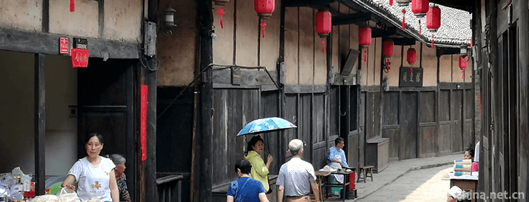
Geographical environment of Deyang
Geographical environment of Deyang
Location context
Deyang City is located in the northeast edge of Chengdu Plain, with geographical coordinates of 30 ° 31 ′ - 31 ° 42 ′ N and 103 ° 45 ′ - 105 ° 15 ′ E. Deyang borders Fucheng District of Mianyang City in the northeast, Santai County of Mianyang City in the East, Daying County of Suining City and Lezhi county of Ziyang City in the southeast, Jintang County, Qingbaijiang District and Xindu District of Chengdu City in the south, Pengzhou District of Chengdu City in the west, Maoxian County of Aba Prefecture in the northwest, and Anzhou District of Mianyang City in the north. It covers an area of 5910 square kilometers.
topographic features
Deyang City is located in the transition zone from Longmen Mountains to Sichuan Basin. According to the terrain, there are high mountains, middle mountains, low mountains, hills and plains. It is silkworm shaped from northwest to Southeast. The terrain is high in the northwest and low in the southeast. It is divided into southwest mountainous area and hilly area. The northwest is Longmen mountain area, with an altitude of 2000-3000 meters. The highest peak is shiziwang peak, with an altitude of 4984.1 meters. The central part belongs to the northeast of Chengdu Plain, with an altitude of 465-750 meters. The southeast part of the Longquan mountains is a hilly area in the central Sichuan Basin, with an altitude of 650-1000 meters. The lowest point is at ershui, Shanchuan village, Puxing Town, Zhongjiang County, with an altitude of 308 meters. The plain area accounts for 30.8% of the total area of the city, the mountainous area accounts for 19.7% of the total area, and the hilly area accounts for 49.5% of the total area.

Geographical environment of Deyang
-
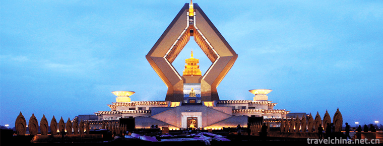
Famen Temple Buddhist Cultural Scenic Area
Famen Temple Cultural Scenic Area is located in Famen Town, 10 kilometers north of Fufeng County, Baoji City, Shaanxi Province. It is 110 kilometers east of Xi'an City and 90 kilometers west of Baoji
Views: 292 Time 2018-12-12 -
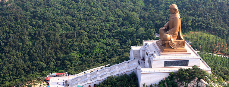
Guyang Qincheng Great Wall Site
The site of the Qincheng Great Wall in Guyang is located in the Yinshan Mountains in the central part of Inner Mongolia Autonomous Region, along the Damiao, Yinhao and Xidoupu in the northern part of
Views: 133 Time 2019-01-12 -
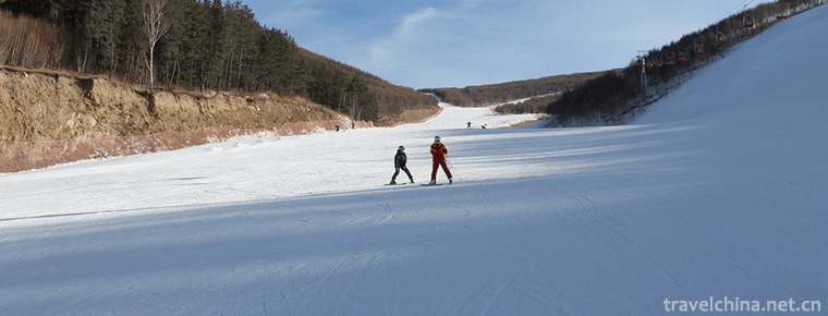
Jilin Beidahu Skiing Ground
Jilin Beidahu Skiing Ground is located in Jilin Beidahu Development Zone, 53 kilometers away from Jilin urban area. Entering the ski resort, facing the Asian Games Village Hotel.
Views: 173 Time 2019-01-19 -
Chishan Scenic Area Shidao
Chishan Scenic Area of Shidao, located in the Shidao Management Area of Rongcheng City, the easternmost end of Shandong Peninsula, is a national 4A-level tourist attraction
Views: 190 Time 2019-02-08 -
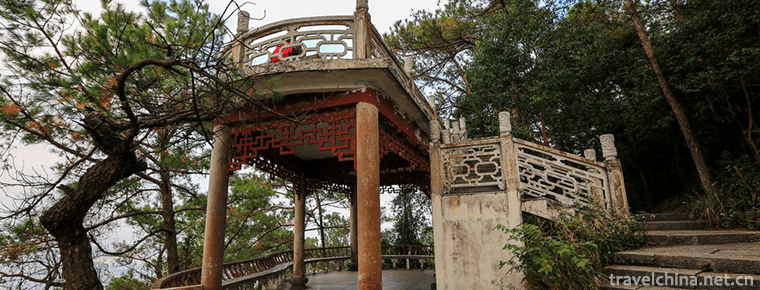
Taiping Ancient Town Scenic Area
Taiping Ancient Town is located at the junction of Gulin River and Chishui River, 35 kilometers away from Gulin County. Across the river from Xingmin Township in Xishui County, Guizhou Province
Views: 122 Time 2019-02-13 -
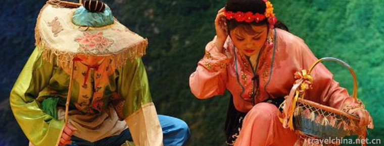
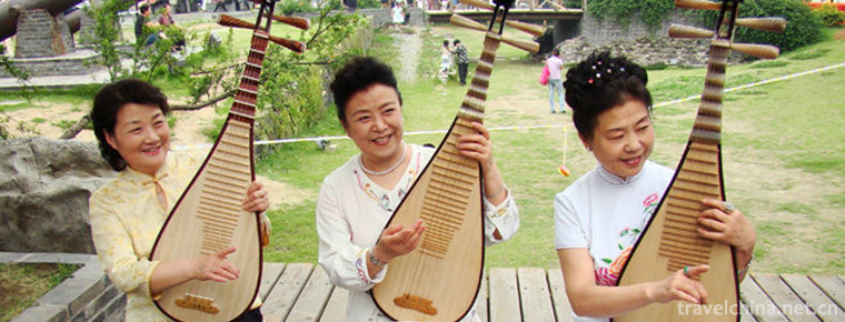
Tea Picking Opera
Tea-picking opera is a kind of traditional opera popular in Jiangnan and Lingnan provinces. It was mostly produced from the middle of Qing Dynasty to the end of Qing Dynasty.
Views: 283 Time 2019-04-04 -
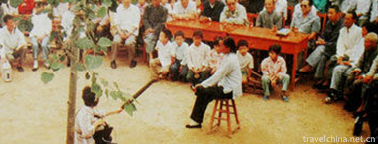
Gengcun Folk Stories
Gengcun Folklore Gengcun Folklore, the traditional folk literature of Gaocheng City, Hebei Province, is one of the intangible cultural heritage at the national level.
Views: 155 Time 2019-05-01 -
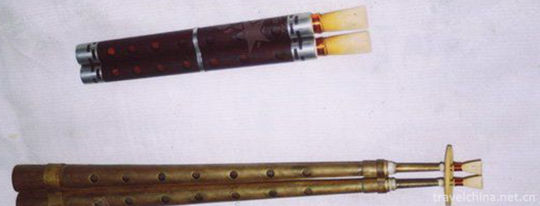
Sheng Guanyue
The term "Sheng wind music" is not only a popular name in Chinese folk, but also a scientific name in the current academic circles. It refers to the orchestral performance form consisting of
Views: 158 Time 2019-06-14 -

The game of go
Go is a strategic two-player game. It was called "game" in ancient China and "Go" in the West. Popular in East Asian countries (China, Japan, Korea, Korea), is one of the four arts
Views: 308 Time 2019-06-26 -
Yangzhou Tanci
Yangzhou's performance of ci-poems is mainly based on speech and supplemented by singing and playing. The representative bibliographies are "Double Gold Ingot", "Pearl Tower", &quo
Views: 389 Time 2019-07-10 -
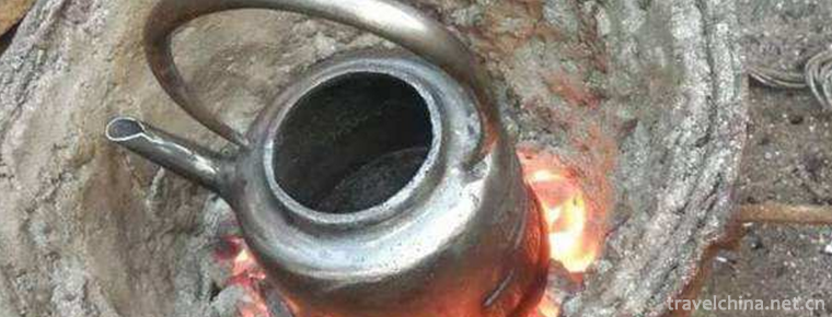
Smelting and Casting Techniques of Pig Iron in Yangcheng
Yangcheng pig iron casting technology was invented in the 6th century BC. Yangcheng pig iron smelting and casting technology in the smelting and casting process first crushed the ore, then roasted at
Views: 116 Time 2019-07-10 -
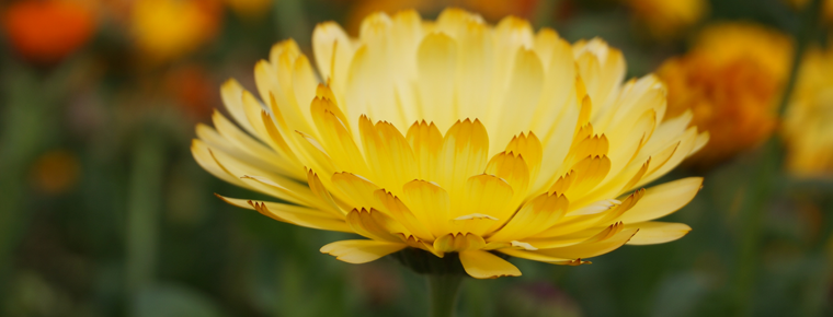
Chengdu Weiran flower sea
Weiran flower sea is the largest flower sightseeing base in Chengdu, the top 50 rural tourism base in Chengdu, the most beautiful flower appreciation base in Chengdu, Chengdu music industry base, top
Views: 152 Time 2020-04-10