Qinghai Kekexili National Nature Reserve Hoh Xil
Qinghai Kekexili National Nature Reserve Hoh Xil
The Kekexili National Nature Reserve in Qinghai Province is located in the western part of Yushu Tibetan Autonomous Prefecture with a total area of 4.5 million hectares. It is one of the nature reserves with the largest area, the highest elevation and the richest wildlife resources built in China.
The Kekexili National Nature Reserve in Qinghai Province mainly protects rare wildlife, plants and their habitats, such as Tibetan antelope, wild yak, Tibetan wild donkey and Tibetan antelope. In November 2014, the declaration of World Natural Heritage in Kekexili, Qinghai Province was launched.
At the 41st World Heritage Conference held in Krakow, Poland, at 13 p.m. on July 7, 2017, Kekexili of Qinghai was approved by the World Heritage Committee to be included in the World Heritage List , making it China's 51st World Heritage Site.
In November 2017, the Kekexili National Nature Reserve in Qinghai, Altun Mountain in Xinjiang and Qiangtang National Nature Reserve in Tibet issued a joint announcement prohibiting all units or individuals from entering the reserve at will to carry out illegal crossing activities.
Historical evolution
In 1995, the Qinghai provincial government listed the area as a provincial nature reserve, which was announced in 1996.
In December 1997, the State Council approved and promulgated the area as a national nature reserve.
In September 1999, it was renamed "Kekexili National Nature Reserve in Qinghai Province".
In April 2016, Qinghai Province held a meeting of the Standing Committee of the Provincial Party Committee to deploy the pilot work of the Sanjiangyuan National Park System, and proposed to strive to build the Sanjiangyuan National Park in China within five years.
The Sanjiangyuan National Park covers the Kekexili National Nature Reserve in Qinghai Province and the Zhaling Lake, Erling Lake and Xinghai in the Sanjiangyuan National Nature Reserve, with a total area of 123,100 square kilometers.
geographical environment
position
Kekexili Nature Reserve is located in Yushu Tibetan Autonomous Prefecture in southwestern Qinghai Province. It is an alpine platform across Qinghai, Xinjiang and Tibet. The reserve is adjacent to Tibet in the west, Golmud Tanggula Township in the south, Xinjiang Uygur Autonomous Region in the north and Qinghai-Tibet Highway in the East with a total area of 45,000 square kilometers.
Geology and geomorphology
The Kekexili National Nature Reserve in Qinghai Province is highly topographic and controlled by geological and geomorphological structures. The mountains, wide valleys and basins in the area are regularly arranged in a NW-SEE direction:
From north to south, there are large, undulating mountains and extremely high mountains composed of Bokaliktag Mountain and Malan Mountain-Snow Peak in the eastern part of Kunlun Mountains, and high-altitude lake basin belts of Wudan Lake, Kexili Lake, Zhuonai Lake and Kusai Lake in Leqian Lake.
The middle and small undulating Alpine belts in the Kekexili Mountains, the high altitude and wide valley lake basins in the West Jinwulan Lake-Chumar River, and the middle and small undulating Alpine belts in the Dongbule Mountains-Wulanwula Mountains.
The central part of the Kekexili Nature Reserve is relatively low, while the western part is high and the eastern part is low. The basic geomorphological types are medium and small undulating mountains and high altitude hills, platforms and plains, except for the large undulating mountains and extremely high mountains on the northern and southern margins.
hydrology
The Kekexili National Nature Reserve in Qinghai Province is the convergence area of the Qiangtang Plateau inland lake area and the North source water system of the Yangtze River.
Hoh Xili can be divided into three water systems: the North outflow system of the Changjiang River, which is composed of the Chumar River system in the east, is supplied by rainwater and groundwater, with a small amount of water and is dominated by seasonal rivers: the East Qiangtang inflow system centered on lakes in the West and north is located in the Northeast of the Qiangtang Plateau inflow Lake area; the north middle section is the inflow system of the Qaidam Basin, mainly through the Red River. The Kunlun Mountains flow into the Qaidam Basin.
The inland river basin of the reserve almost covers the whole reserve; there are many lakes. According to statistics, there are 107 lakes with a total area of 3825 square kilometers, 6 lakes with an area of more than 200 square kilometers and more than 7000 lakes with a area of less than 1 square kilometer, so they are called "land of thousands of lakes".
There are 255 glaciers in the area, covering an area of 750.7 square kilometers, with an ice reserve of 81.648.9 billion cubic meters. The reserve is located in permafrost zone. The frozen soil area of the station is over 90% of the reserve area. The thickest frozen soil is up to 400 meters. Glaciers and permafrost are huge solid reservoirs.
soil
The main soil types of Kekexili National Nature Reserve in Qinghai are alpine meadow soil, alpine grassland soil and alpine desert soil. Secondly, marsh soil, scattered distribution of meadow soil, turtle soil, saline soil, alkali soil and sandy soil, etc., the soil type is relatively simple.
climate
The Kekexili National Nature Reserve in Qinghai Province has formed a typical alpine climate characteristic because of its high altitude, arid and cold climate. There is a relatively warm area in the West Jinwulan Lake area. The average annual temperature is - 10.0 ~4.1 C, and the lowest temperature is - 46.2 C. The distribution trend is gradually decreasing from southeast to northwest. The coldest month occurs in January and the warmest month occurs in July. The annual average precipitation ranges from 173 to 495 mm, and decreases gradually from southeast to northwest. The precipitation mainly concentrated in May to September, accounting for more than 90% of the annual precipitation. Because of the influence of downward transmission of strong westerly momentum at high altitude, Hoh Xili region has become one of the main wind speed regions in the whole Qinghai-Tibet Plateau and the whole country. The annual average wind speed distribution gradually increases from southeast, northeast to hinterland and west, and the contour line basically presents a "trumpet-mouth" type. The wind speed is between 8.0 and 3.5m/s.
Regional scope
The protection scope of Kekexili National Nature Reserve in Qinghai Province is as follows: from east to Qinghai-Tibet Highway, from west to Qinghai Province, from north to Bokalektuk Mountain in Kunlun Mountains, from south to Tanggushan Township and Zhiduo County in Golmud City, from 89.25 degrees to 94.05 degrees in East longitude, 34.19 degrees to 36.16 degrees in North latitude, covering an area of 45,000 square kilometers; the core area is from Mount Kekexili and Mount Ulanwula to Mount Dongbule. It covers an area of 15,500 square kilometers.
Protection target
Botany
There are about 202 species of higher plants belonging to 102 genera and 30 families in Kekexili National Nature Reserve of Qinghai Province. It mainly consists of dwarf herbs and cushion plants, but very few woody plants. There are only a few species, such as creeping water cypress branches and cushion mountain ephedra. Among more than 200 species, endemic species of the Qinghai-Tibet Plateau and species from the Qinghai-Tibet Plateau to the Central Asian Alpine, West Himalayas and East Pamirs dominate the floristic composition. There are a certain number of Arctic alpine components, while temperate Asia has fewer species, and temperate and world-wide species are extremely few, only in relatively stable water habitats, such as leek and eye. According to preliminary statistics, there are 84 species endemic to the Qinghai-Tibet Plateau, accounting for about 40% of the total plants in this area, of which there are more than 8 species and varieties endemic to the Hoh Xili region of Qinghai. There are about 50 species from Qinghai-Tibet Plateau to Central Asia alpine, West Himalaya and East Pamir, accounting for 35% of the plants in this area. There are about five Arctic-alpine components.
Animal
There are 30 known mammals belonging to 5 orders, 12 families, 20 genera and 56 birds belonging to 10 orders, 22 families in the Kekexili National Nature Reserve of Qinghai Province. In addition, there are 2 species of schizophrenic fish and 4 species of loach, almost all of which are endemic to plateau. Reptiles belong to only one species of Qinghai salamander. It has wild yaks, Tibetan antelopes, wild donkeys, white-lipped deer, brown bears and other unique wildlife on the Qinghai-Tibet Plateau. Hoh Xili is one of the areas with abundant animal resources in China. It has more than 230 kinds of wildlife.
Because of its high terrain, arid and cold climate, simple vegetation types, poor food and shelter conditions, and simple animal composition. However, apart from the predators and raptors, hoofed animals have the habit of swarming or inhabiting in groups. The population density is high and the number is large.
ecological value
The Kekexili National Nature Reserve in Qinghai Province is the convergence area of the Qiangtang Plateau inland lake area and the North source water system of the Yangtze River. The eastern part is the North source system of the Changjiang River, which is composed of the Chumar River system, while the western and northern parts are the inward flow system centered on the lake. There are 107 lakes over 1 square kilometer in the area. There are seven lakes over 200 square kilometers. The largest lake is Wulanwula Lake. The lake water area is 544.5 square kilometers. It is the fourth largest lake in Qinghai Province. Most of the lakes are saltwater lakes or semi-saltwater lakes with high salinity. Modern glaciers are widely distributed in the area, with a total area of 2000 square kilometers. There are Bukadaban glacier cap, Malan glacier, Gangzari glacier and so on. There are many peculiar natural landscapes in this area, such as valley glaciers, frozen hills, frozen nets, stone forests, stone rings, colorful plateau lakes, salt blossoms blooming by salt lakes, and hot gas transpiration under modern glaciers, boiling springs with water temperatures as high as 91 degrees Celsius, which constitute unique tourist resources. The Jurassic section of marine facies at the end of Wulan Wula Mountains is 2000 meters long, which is of great significance to the scientific research of geology, palaeogeography and palaeontology. The main mineral resources in Hoh Xili area are gold, silver, lead, zinc, iron, quartz, jade, coal and salt. Qingkexili is known as "the third pole of the world" and the gene bank of rare wildlife in the Qinghai-Tibet Plateau. It has important scientific research and ecological value in the aspects of natural environmental protection, biodiversity protection, scientific research and Ecological Exploration tourism.


-
Fu Ling Rose Crisp
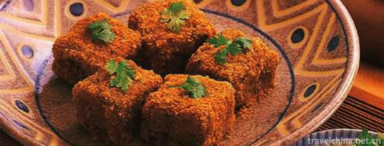
Fuling Rose Crisp is a special traditional snack in Jixi County, Anhui Province. Fuling Rose Crisp is a well-known traditional pastry, which is produced in Fuling Village, Jixi County..
Views: 169 Time 2018-11-27 -
The Dazu Rock Carvings
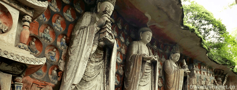
Dazu Stone Scenic Area is a religious cliff sculpture in the late Tang and early Song Dynasty, with Buddhist themes as the main theme, especially the Beishan Cliff sculpture and Baoding Mountain Cliff.
Views: 203 Time 2018-12-12 -
sanshui forest park
Sanshui Forest Park is located in the north suburb of the southwest town of Sanshui District, Foshan City, Guangdong Province..
Views: 142 Time 2018-12-18 -
Nine Towers Chinese Folk Happy Garden
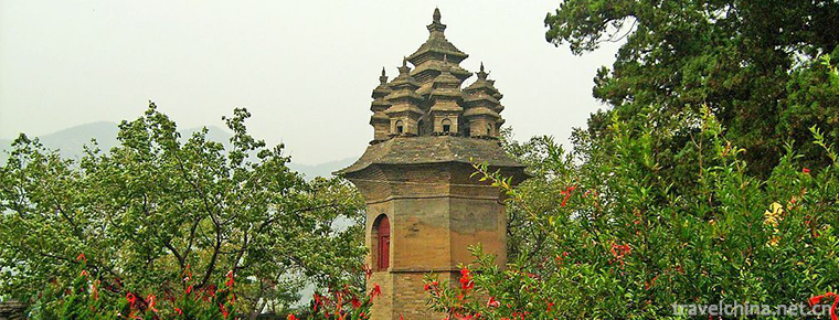
Jiudingta Chinese Folk Happy Garden is a large-scale original ecological and cultural tourist area which integrates Chinese national customs, scenic spots, waterfalls, recreational exploration.
Views: 122 Time 2018-12-22 -
Kowloon Lake Resort
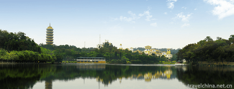
Guangzhou Jiulong Lake Resort is a national AAAA-level tourist attraction with an area of 25,000 mu. The resort takes natural landscape as its broad carrier and family vacation as its leading function.
Views: 167 Time 2018-12-22 -
Qianchuan Scenic Spot
Qianchuan Scenic Spot, a national-level scenic spot announced by the State Council in 2004, is situated on the Bank of the Yellow River 20 kilometers east of Heyang County.
Views: 107 Time 2019-02-07 -
Hanchuan good books
Hanchuan Shanshu is a kind of traditional folk music which combines rap and singing in Hubei Province. Since the Qianlong period of the Qing Dynasty, it has a history of 260 years. .
Views: 126 Time 2019-05-02 -
Shaoxing Ci Tone
Shaoxing Ci Diao, also known as Flower Diao, is commonly known as vernacular. It is a traditional folk song sung by blind artists (most of whom are women), and a story sung by three to nine people in .
Views: 143 Time 2019-06-14 -
Xinhua Folk Song
Xinhua Folk Song is a kind of traditional folk song mainly spread in Xinhua County, Loudi City, Hunan Province. Xinhua folk song has a wide range of contents, old style, unique style, simple rhyme, ch.
Views: 157 Time 2019-07-06 -
Chizhou University
Chizhou college is Anhui Province Full time general Undergraduate Colleges It's the only one in China. Hui Style Architecture The style of colleges and universities is the only one in Anhui colleges a.
Views: 394 Time 2019-11-09 -
The second industry of Panzhihua
In 2018, the total industrial added value of Panzhihua was 69.163 billion yuan, an increase of 7.0%, and its contribution rate to economic growth was 59.7%. At the end of the year, there were 325 Industrial Enterprises above designated size. The production and sales rate.
Views: 334 Time 2020-12-14 -
Dazhou peoples life
In 2018, the per capita disposable income of Dazhou residents was 20881 yuan. The per capita disposable income of urban residents was 30882 yuan, an increase of 8.8%. Among them, salary income was 17597 yuan, an increase of 7.3%; net ope.
Views: 142 Time 2020-12-20
