Geographical environment of Deyang
Geographical environment of Deyang
Location context
Deyang City is located in the northeast edge of Chengdu Plain, with geographical coordinates of 30 ° 31 ′ - 31 ° 42 ′ N and 103 ° 45 ′ - 105 ° 15 ′ E. Deyang borders Fucheng District of Mianyang City in the northeast, Santai County of Mianyang City in the East, Daying County of Suining City and Lezhi county of Ziyang City in the southeast, Jintang County, Qingbaijiang District and Xindu District of Chengdu City in the south, Pengzhou District of Chengdu City in the west, Maoxian County of Aba Prefecture in the northwest, and Anzhou District of Mianyang City in the north. It covers an area of 5910 square kilometers.
topographic features
Deyang City is located in the transition zone from Longmen Mountains to Sichuan Basin. According to the terrain, there are high mountains, middle mountains, low mountains, hills and plains. It is silkworm shaped from northwest to Southeast. The terrain is high in the northwest and low in the southeast. It is divided into southwest mountainous area and hilly area. The northwest is Longmen mountain area, with an altitude of 2000-3000 meters. The highest peak is shiziwang peak, with an altitude of 4984.1 meters. The central part belongs to the northeast of Chengdu Plain, with an altitude of 465-750 meters. The southeast part of the Longquan mountains is a hilly area in the central Sichuan Basin, with an altitude of 650-1000 meters. The lowest point is at ershui, Shanchuan village, Puxing Town, Zhongjiang County, with an altitude of 308 meters. The plain area accounts for 30.8% of the total area of the city, the mountainous area accounts for 19.7% of the total area, and the hilly area accounts for 49.5% of the total area.

-
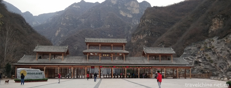
Yesanpo Scenic Area Laishui County Baoding
The Yesanpo Scenic Area of Laishui County, Baoding City, Hebei Province, is located in Laishui County, Baoding City. The Taihang Mountains and Yanshan Mountains.
Views: 189 Time 2018-11-24 -
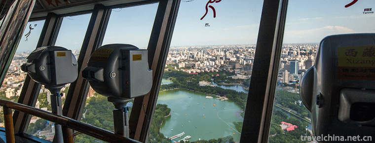
Central Radio and Television Tower
The Central Radio and Television Tower, now a national 4A scenic spot, is located on the west side of West Third Ring Road, Haidian District, Beijing. Near the Space Bridge, it faces beautiful Yuyuant.
Views: 142 Time 2018-12-22 -
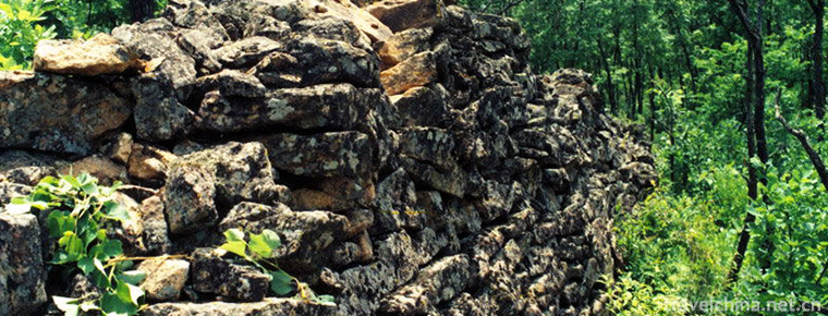
Mudan River Side Wall
The Mudanjiang Side Wall was built in the Tang Dynasty, presumably at the junction of Mudanjiang City in Heilongjiang Province and the northeast of Hailin County. .
Views: 287 Time 2019-02-07 -
Pingle Ancient Town
Pingle Ancient Town, located 93 kilometers southwest of Chengdu and 18 kilometers southwest of Qionglai City, is a famous historical and cultural town in China. .
Views: 165 Time 2019-02-07 -
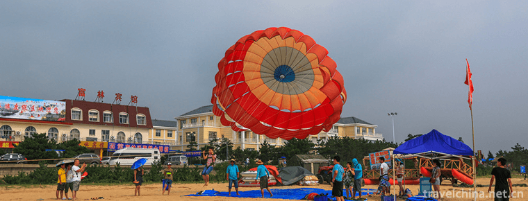
Rizhao Seashore National Forest Park
Rizhao Seashore National Forest Park is located in the north head of Rizhao North Coastal Road, Shandong Province. In 1992, it was approved by the former Ministry .
Views: 194 Time 2019-02-07 -
Guqin art
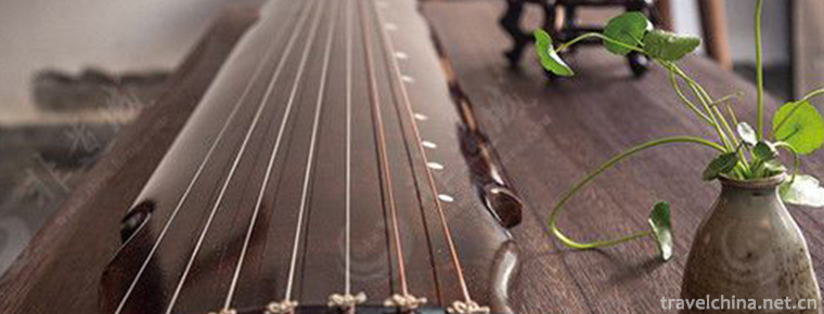
Guqin art is embodied as a solo art form of flat stringed instruments. It also includes both singing and playing, as well as the ensemble of piano and xiao..
Views: 91 Time 2019-05-01 -
Rubbing and Printing Skills of Hengshui Inscriptions
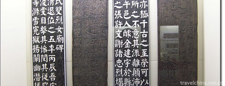
Hengshui Law Tie Engraving and Printing Technology, the traditional handicraft of Taocheng District, Hengshui City, Hebei Province, is one of the national intangible cultural heritage..
Views: 192 Time 2019-05-03 -
Mongolian camel raising custom
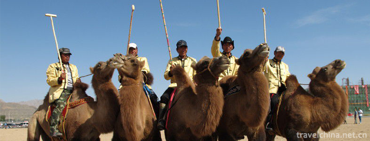
The Mongolian camel-raising custom has a long history. In the practice of production and life with a long history, camel has become the most loyal partner of mankind while making outstanding.
Views: 84 Time 2019-06-04 -
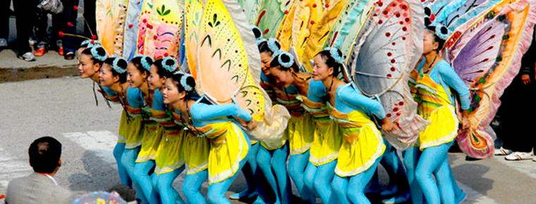
Eighteen Butterflies
Eighteen butterflies is a local traditional dance form popular in the central part of Zhejiang Province (mainly in the area of Jinhua Yongkang). Twenty young women play the whole set of eighteen butte.
Views: 112 Time 2019-06-15 -
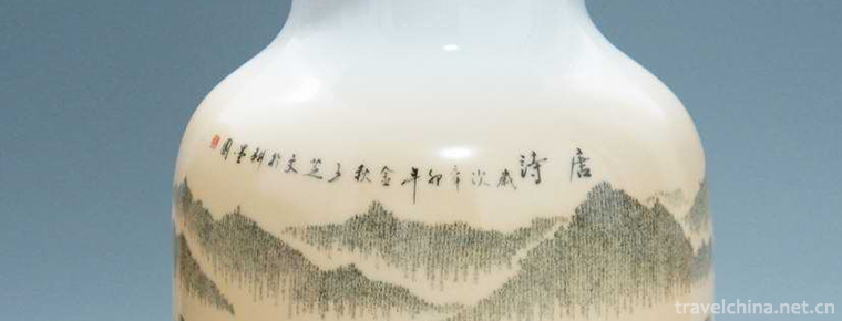
Ceramic microbooks
Ceramic micro-calligraphy is one of the folk skills which perfectly combines Chinese calligraphy art with color porcelain art. It has a long history. Artists not only maintain the traditional style, b.
Views: 313 Time 2019-06-18 -
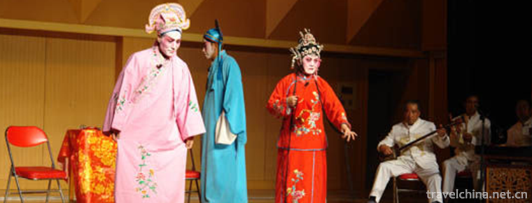
Tongwei Opera
Tongwei Xiaoqu Opera is a kind of traditional Xiaoqu Opera popular in Tongwei County. In the Ming and Qing Dynasties, Tongwei folk artists absorbed various flavors of Longdong Daoqing, Wanwanwanqiang .
Views: 194 Time 2019-06-21 -
Suining famous specialty
Suining City has Shehong Medina beef, Daying white lemon, Chuanshan bean curd peel, Anju golden pear, zhuotang well salt, da'anshu beef, Chicheng lake fish mat, shehongyexiang pig, Anju 524 sweet potato, Pengxi green pepper, Pengxi Xiantao, qiaoguanying .
Views: 331 Time 2020-12-16
