Qinghai Lake
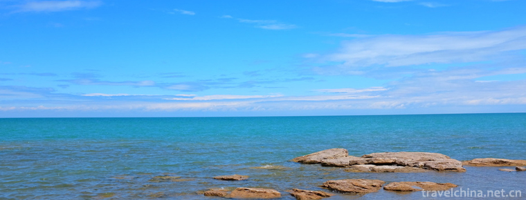
In Qinghai Lake, the Tibetan language is called "the weming cloth" (meaning "the blue sea"). Located in the northeast of Qinghai Tibet Plateau and Qinghai Province, China is the largest inland lake and salt water lake. The collapse of the Tongshan mountain between the Qilian mountains, the sun moon mountain and the Qinghai Nanshan fault.
July 30, 2012, Qinghai Provincial Institute of Meteorological Sciences, the latest remote sensing monitoring results show that the area of Qinghai Lake continued to increase for eight years.
At 9:50 on October 20, 2014, a spectacular scene of "dragon water absorption" appeared on the northern side of Haixin mountain in Qinghai Lake.
Cause of formation
The fault structures of the Qinghai Lake are located in the fault basin, and the edge of the basin is mostly connected with the surrounding mountains. In the early stage of Lake formation, 200-2 million years ago, it was originally a large freshwater lake connected with the Yellow River system. At that time, the climate was warm and rainy, and the lake water was discharged into the Yellow River through the backward River in the southeast, which was an outflow lake. Up to 130,000 years ago, due to the neotectonic movement, the surrounding mountains were strongly uplifted. From the end of the Pliocene, Riyueshan and Yeniushan in the eastern part of the lake rose rapidly and blocked the upstream river that originally flowed into the Yellow River, forcing it to flow into Qinghai Lake from east to west, resulting in the emergence of the Guhai Sea, the Ear Sea, and then separated from Haiyan Lake and Shadao Lake.
Change of situation
Due to the blockage of the drain channel, Qinghai Lake became a closed lake. Coupled with the drying of the climate, the Qinghai Lake gradually turned from fresh water lake to salty water lake. In the Northern Wei Dynasty, the circumference of Qinghai Lake was known as thousand li, and the Tang Dynasty was 400 kilometers, and the time of Qianlong was reduced to 350 kilometers. There are ruins of ancient lake levees about 20 kilometers in the front of the Buha River Delta, and Cha Seoul, 25 kilometers away from the East Bank of the lake (built in the Han Dynasty), was originally on the lakeside. Both sides of the East and West have withdrawn 25 kilometers and 20 kilometers respectively, and the water level has dropped by about 100 meters. Qinghai Lake is oval and circumference longer than 300 kilometers.
In 1908, the Russian Kozlov speculated that the lake had a surface water level of 3,205 meters and a lake area of 4,800 square kilometers; surveying data in the 1950s showed that the water area of Qinghai Lake was more than 4,568 square kilometers; and topographic maps published in the 1970s measured the water level of the lake at about 3,195 meters. In 1988, the water level was 3193.59 meters, and the lake area was 4282 square kilometers. In 2000, the area of Qinghai Lake was 4256.04 square kilometers through remote sensing satellite data analysis. In August 2013, the area of Qinghai Lake Lake area was 4337.48 square kilometers. The lake has a volume of 73.9 billion cubic meters, the longest is about 104 km, the widest is about 62 km, and the deepest is 31.4 M. The average salinity of the lake is 12.32 g/liter, and the salt content is 1.25%.
In August 2017, the area of Qinghai Lake was 4435.69 square kilometers, an increase of 60.19 square kilometers over the same period last year, and an average increase of 101.54 square kilometers over the same period in previous years (2005-2016).
geographical environment
Qinghai Lake is 105 kilometers long and 63 kilometers wide with an elevation of 3196 meters. It is the largest inland lake and saltwater lake in China. It is located in the northeast of the Qinghai-Tibet Plateau. It is located in the northwest of Xining City. It is located between 99.36'- 100.16'longitude and 36.32'- 37.15' latitude. The lake is surrounded by four towering mountains: Datong Mountain in the north, Riyue Mountain in the east, Nanshan Mountain in Qinghai in the South and Rubber Mountain in the west. The four mountains are at an elevation of 3600~5000 meters above sea level. Qinghai Lake covers an area of 4,456 square kilometers, with a circumference of more than 360 kilometers, more than twice the size of the famous Taihu Lake. The surface of the lake is long, narrow in the north and south, slightly oval. The Qinghai Lake is about 21 meters deep, with a maximum depth of 32.8 meters, a storage capacity of 105 billion cubic meters and an elevation of 3260 meters. It's about 200 kilometers from Xining. There are nearly 30 large and small rivers in the lake area. There are two sub-lakes on the East Bank of the lake, one is the Guhai Lake, covering an area of 48 square kilometers, which is salt water; the other is the Ear Sea, covering an area of 8 square kilometers, which is fresh water.
Climatic characteristics
Qinghai Lake has a plateau continental climate with sufficient sunshine and strong sunshine; cold winter and summer, short warm season, long cold season, spring windy and sandstorm; less rainfall, hot and rainy season, dry and wet season.
Illumination
Most of the annual sunshine hours in the lake area are over 3000 hours, which is about 700 hours higher than that in the same latitude area east of Qinghai Province, and the annual sunshine percentage reaches 68-69%. The annual total radiation amount is 171.461-106.693 kcal/m2 /, 10-40 kcal/m2 // year higher than that of the North China Plain and the Loess Plateau in the same latitude.
air temperature
The temperature in the eastern and southern parts of the lake is slightly higher, with an average annual temperature of 1.1-0.3, and slightly lower in the western and Northern parts, with an average annual average temperature of - 0.8-0.6, with an average maximum temperature of 6.7-8.7, average minimum temperature of - 6.7-4.9, extreme maximum temperature of 25, extreme minimum temperature of - 31-33.4.
Water content
The annual precipitation in the lake area is relatively low. But East and South are slightly higher than north and west, with annual precipitation of 412.8 mm in the east, 359.4 mm in the south, 370.3 mm in the northwest, 360.4 mm in the West and 324.5 mm in the west. Annual evaporation is 1,502 mm and evaporation far exceeds precipitation. The seasonal variation of precipitation in the lake area is large, and the precipitation is mainly concentrated in 5~9 months.
Strong winds and sandstorms
The number of strong winds and sand storms in the lake area is one of the provinces in the province. There are strong winds in the afternoon and evening in 2~4 months, and the northwest wind prevails. Take Gangcha as an example. Strong winds (> 17 m / s) averaged 47.3 days a year, with the highest in February and April, ranging from 5.9 to 9.3 days on average, and up to 19 days in March. The average duration of the sandstorm is 14 days. In the key protection area, the northwest wind of the BAHA estuary - bird island area has a maximum wind force of 9~10. Because of the high altitude of the lake area, the high winds of the lake and the high air influence, it is controlled by the westerly wind throughout the year. In winter and spring, the wind speed is the largest and the summer and autumn are smaller. Under the action of wind force, the general wave is 2-3, the maximum is 7-8, and the number of days of wave above 6 is about 40 days.
water temperature
The temperature of Qinghai Lake varies with seasons. In summer, the lake water temperature has obvious positive layer phenomenon, the highest temperature in August is 22.3 C, the average is 16 C; the lower water temperature is lower, the average water temperature is 9.5 C, the lowest is 6 C. In autumn, the lake water agitated due to the windy Lake area, so that the phenomenon of water temperature stratification temperature basically disappeared. In winter, the lake ice, lake water temperature inversion layer phenomenon. In January, the upper temperature of the subglacial lake water - 0.9, the bottom water temperature 3.3. After the thaw in spring, the water temperature of the lake surface began to increase, and gradually returned to the summer and seasonal water temperature.
Ice situation
Due to the fact that Qinghai Lake contains a small amount of inorganic salts, the freezing temperature of the lake is slightly lower than that of 0. Every year from mid-November, the temperature in the lake area dropped to below 0, the lowest in January the following year, the lake formed a stable ice sheet, the average of the glacial period is 108-116 days, the shortest is 76 days, the longest 138 days. The ice thickness is generally 40 centimeters, and the maximum ice thickness is 90 centimeters. After icing, the ice is flat. Cracks and gaps often occur due to violent winds. In winter, we can see lakes and mountains, all white and silver. In mid-March, the ice cap broke and floating ice appeared on the lake. Under the action of wind, a huge iceberg floated to the shore. The maximum volume of the iceberg was about 10 cubic meters. After mid-April, the ice in the lake completely melted.
The source of water supply in Qinghai lake is river water, followed by spring water and precipitation at the bottom of the lake. There are more than 70 small rivers in the lake area with obvious asymmetry distribution. There are many rivers along the banks of Hubei, northwest and southwest, large watershed area and many tributaries; there are few rivers along the southeast and South shores of the lake, and less watershed area. The Buha River is the largest river flowing into the lake. It originates from the Amuniku Mountains, a branch of the Qilian Mountains. It is about 300 kilometers long and 92 kilometers long. There are dozens of tributaries and more than 10 larger tributaries. The lower reaches of the river are about 50-100 meters wide and 1-3 meters deep, and PH8-8.2. The drainage area is 16570 square kilometers, which accounts for 1/2 of each river basin in the lake area. Annual runoff is 1 billion 120 million cubic meters, accounting for 60% of the incoming runoff.
More than 40 rivers, mainly Buha River, Shaliu River, Uha'alan River and Halgay River, are recharged into Qinghai Lake every year. The annual runoff of these four rivers reaches 1.612 billion cubic meters, accounting for 86% of the total runoff. It is the area where fish migrate and spawn and birds are more concentrated. Qinghai Lake recharges 1.335 billion cubic meters of water, 1.557 billion cubic meters of precipitation, 401 million cubic meters of groundwater and 3.493 billion cubic meters of groundwater into the lake and river every year. The wind in the lake area evaporates quickly and the evaporation of the lake water is 3.93 billion cubic meters a year, with an average annual loss of 437 million cubic meters.
Bird Resources
By August 2014, the records of bird species in Qinghai had increased to 222 species, belonging to 14 orders, 35 families, with a total of more than 160,000 birds, including 21,300 spotted geese, 45,000 brown-headed gulls, 87,400 gulls and 112,000 cormorants. In addition, there are cockscomb duck, red duck, common Autumn sand duck, magpie duck, white-eyed duck, spotted-billed duck, Needle-tailed duck, big swan, mandarin-feathered crane, black-necked crane and so on.
According to the field survey data of biodiversity monitoring in Qinghai Lake in 2017, 44 species and 39,000 birds were recorded in 23 aquatic bird habitats in Qinghai Lake. The number of migratory birds rearing in summer showed a double-rising trend .
Stock of fish
The lake is rich in Qinghai naked carp (commonly known as yellow carp) and hard-spined loach, loach. The average annual output of Qinghai naked carp was 5165 tons. From 1949 to 1985, 191180 tons of naked carp were produced. With the passage of time, the resources declined, and the output of naked carp decreased year by year. The naked carp spawns in the source river every 6~7 months, providing abundant food conditions for the fish birds. In 1964, Qinghai Lake was listed as a protected object and Qinghai naked carp as an important and precious aquatic economic animal.


-
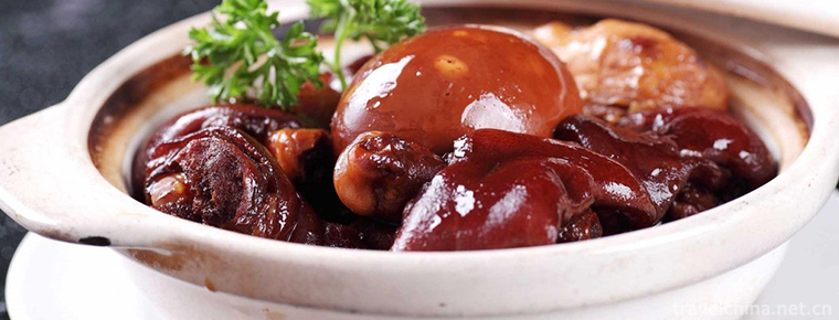
Jiang Cudan Canton style pig leg
Except for those with internal fever, dry stool and weak spleen and stomach function, breast enlargement products can be used as a warm-up tonic in winter..
Views: 233 Time 2018-11-02 -
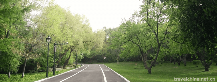
Shenyang Botanical Garden
Shenyang Botanical Garden, located in Dongling District of Shenyang, also known as Shenyang World Expo Garden and Shenyang World Horticulture Expo Garden.
Views: 222 Time 2018-12-02 -
MountHuaguoshan
Mount Huaguoshan (Lianyungang Huaguoshan Scenic Area) is located at the middle foot of Nanyuntai Mountain in Lianyungang City..
Views: 282 Time 2018-12-06 -
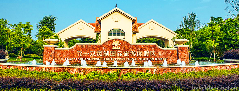
Yuanyi Shuangfeng Lake International Tourist Resort
Yuanyi Shuangfeng Lake International Tourist Resort in Anhui Province is a high-level tourist resort integrating Golf and leisure. Located in the beautiful scenery, with a total area of more than 2000.
Views: 127 Time 2018-12-23 -
Blue Moon Bay Hot Spring Resort
Lanyuewan Hot Spring Resort is the largest four-star garden-style foreign-related hotel and national AAAA-level tourist scenic spot in Western Guangdong. It is located in the quiet "Guangzhou Bay.
Views: 182 Time 2019-01-29 -
Western Xia imperial tombs
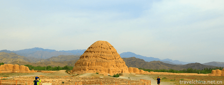
The Mausoleum of the Xixia Dynasty, also known as the mausoleum of the Xixia Emperor and the mausoleum of the Xixia Emperor, is the mausoleum of the successive emperors and the Royal Mausoleum of the .
Views: 106 Time 2019-02-25 -
Martial arts
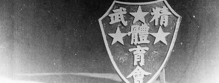
Jingwu Sports Association originated from Huo Yuanjia's elite gymnastics school founded in Shanghai in 1910. It is a mass martial arts organization with the main activities and tasks of teaching.
Views: 220 Time 2019-05-08 -
Miao Jia Li
Jiali, Miao is called "jaxlil". In the context of Miao language, "Jiali" is a synthesis of the semantics of "philosophy", "truth", "reason" and ".
Views: 160 Time 2019-06-05 -
Nu Dabian Dance
"Dabian Dance" is one of the representative dances of the Nu nationality, which is spread in the Nujiang Lisu Autonomous Prefecture Fugong County Nu villages. Dabian dance is characterized b.
Views: 125 Time 2019-06-08 -
Butter Flowers in Tar Temple
Butter flower originated from Benjiao religion in Tibet. It is a small decal on the food supply. According to traditional Indian Buddhist customs, the tributes offered to Buddhas and Bodhisattvas are .
Views: 291 Time 2019-06-17 -
Natural resources of Mianyang
In 2014, the annual precipitation of Mianyang City was 19.845 billion cubic meters, the surface water resources was 11.893 billion cubic meters, the total annual water resources was 11.882 billion cubic meters, and the annual average water resources per capita was.
Views: 124 Time 2020-12-14
